Wangsa Maju, Kuala Lumpur
Map
Gallery
Facts and practical information
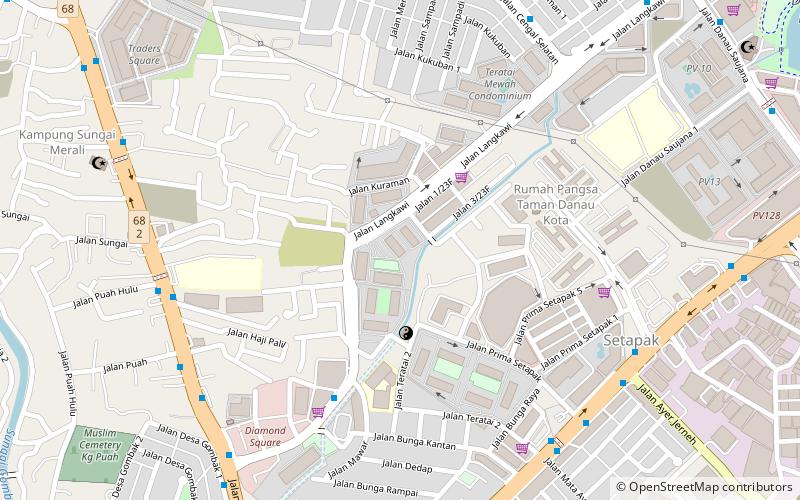
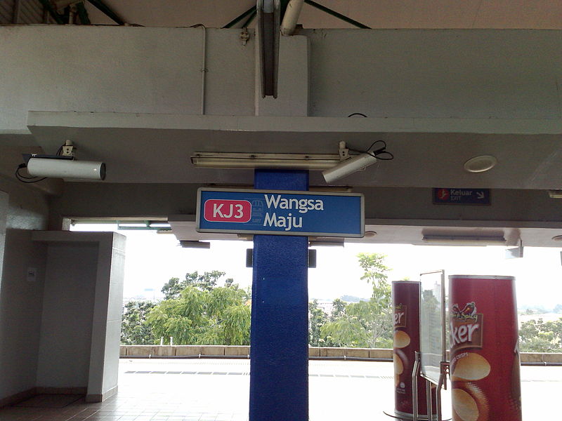
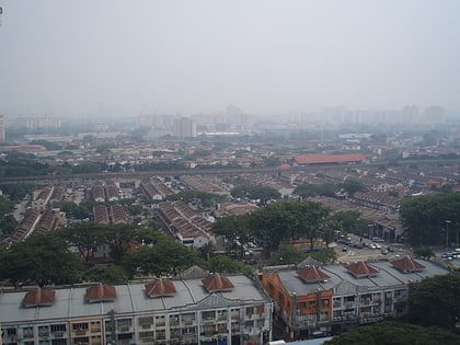
Wangsa Maju is a township and a constituency in Kuala Lumpur, Malaysia. This area is surrounded by Setapak, Taman Melati and Gombak district in Selangor. Wangsa Maju is one of the largest townships in Kuala Lumpur and consists of many sections — Section 1, 2, 4, 5, 6 and 10. ()
Coordinates: 3°11'58"N, 101°42'32"E
Address
Wangsa Maju (Taman P Ramlee)Kuala Lumpur
ContactAdd
Social media
Add
Day trips
Wangsa Maju – popular in the area (distance from the attraction)
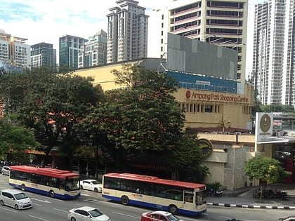
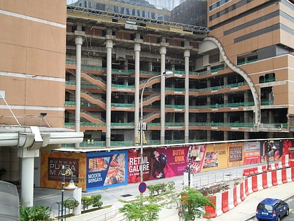
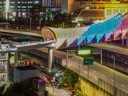
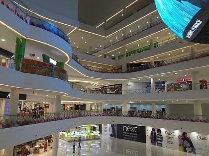
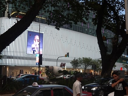
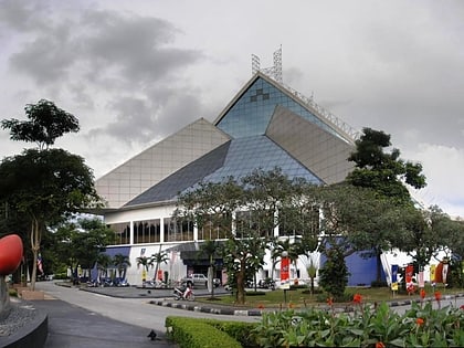
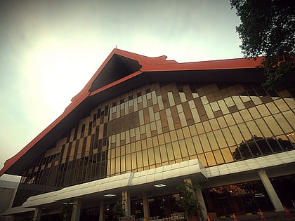
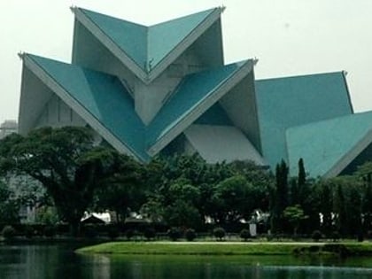
Nearby attractions include: Ampang Park, Sunway Putra Mall, Setapak Central, Saloma Link.
Frequently Asked Questions (FAQ)
How to get to Wangsa Maju by public transport?
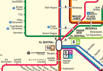
The nearest stations to Wangsa Maju:
Light rail
Light rail
- Sentul Timur • Lines: Ag, Sp (34 min walk)
 Rapid KL