Damansara Heights, Kuala Lumpur
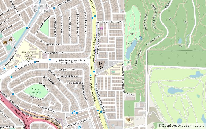
Map
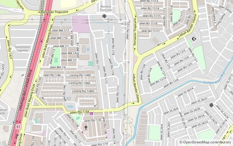
Map

Facts and practical information
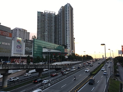
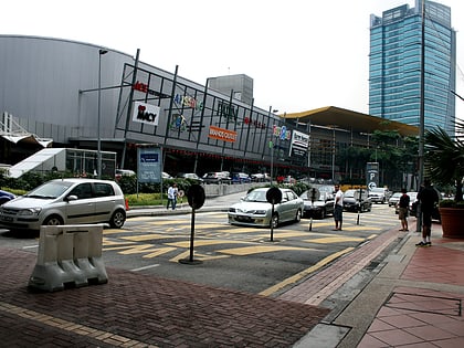
Damansara Heights is an upscale suburb in western side of Kuala Lumpur, Malaysia, located five kilometres away from the city centre. The suburb falls under the Segambut district and its parliamentary constituency. ()
Local name: Damansara, Kuala LumpurCoordinates: 3°7'24"N, 101°36'4"E
Address
Kuala Lumpur
ContactAdd
Social media
Add
Day trips
Damansara Heights – popular in the area (distance from the attraction)
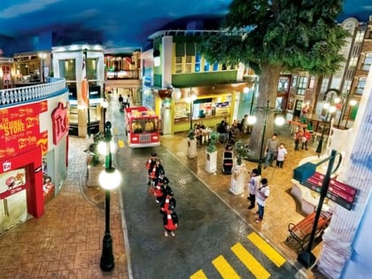
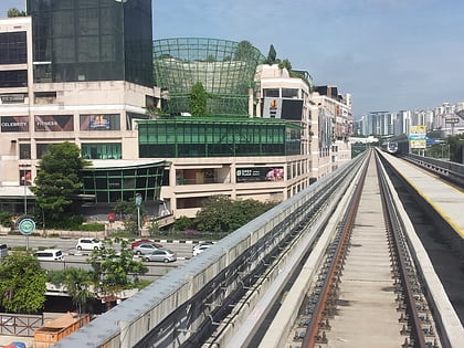
Nearby attractions include: Tropicana City Mall, KidZania Kuala Lumpur, Subang National Golf Club, 1 Utama.
Frequently Asked Questions (FAQ)
How to get to Damansara Heights by public transport?
The nearest stations to Damansara Heights:
Bus
Light rail
Bus
- Kelana Jaya LRT (20 min walk)
Light rail
- Kelana Jaya • Lines: Kj (21 min walk)
- Lembah Subang • Lines: Kj (27 min walk)

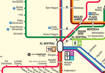 Rapid KL