Petaling District, Subang Jaya

Gallery (1)
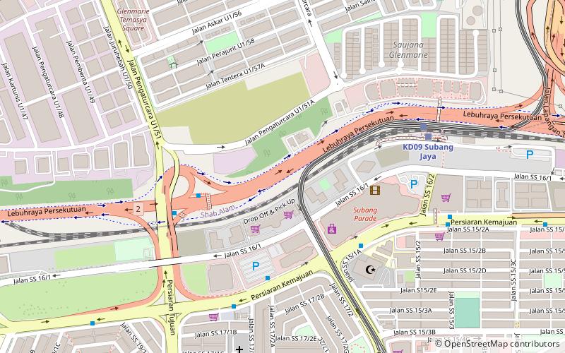
Map
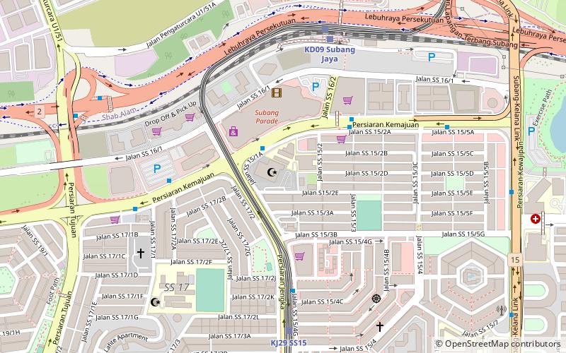
Map
Facts and practical information
The Petaling District is a district located in the heart of Selangor in Malaysia, not to be confused with the city of Petaling Jaya located in it, nor the mukim of Petaling within Petaling Jaya City Council within Petaling district. ()
Getting there by public transportation
Public transportation stops near this location
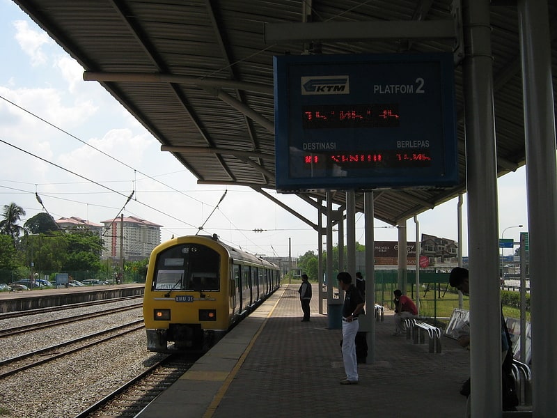
- Light rail
- Train
 Light rail
- Calculate routeSubang Jaya 9 min walk
- Calculate routeSubang Jaya 9 min walk
- Calculate routeSs15 15 min walk
- Calculate routeGlenmarie 26 min walk
- Calculate routeSs18 29 min walk
Day trips


Frequently Asked Questions (FAQ)
Which popular attractions are close to Petaling District?
Nearby attractions include Darul Ehsan Mosque, Subang Jaya (8 min walk), Core Design Gallery, Petaling Jaya (13 min walk), Mesiniaga Tower, Subang Jaya (16 min walk).
How to get to Petaling District by public transport?
The nearest stations to Petaling District:
Train
Light rail
Train
- Subang Jaya (9 min walk)
Light rail
- Subang Jaya • Lines: Kj (9 min walk)
- Ss15 • Lines: Kj (15 min walk)