Monsopiad Cultural Village, Kota Kinabalu
Map
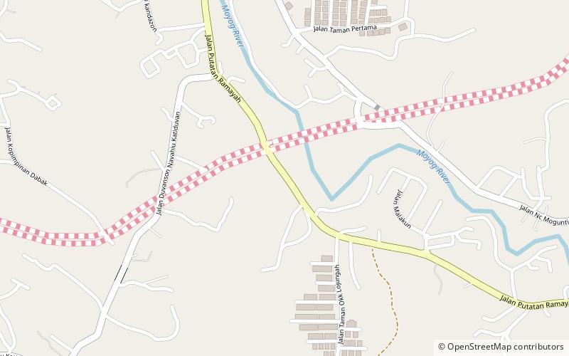
Map

Facts and practical information
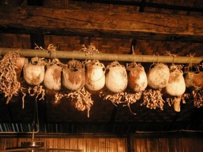
Monsopiad Cultural Village (address: Jalan Putatan Ramayah) is a place located in Kota Kinabalu (Sabah state) and belongs to the category of museum, historical place, history museum.
It is situated at an altitude of 46 feet, and its geographical coordinates are 5°53'20"N latitude and 116°4'44"E longitude.
Among other places and attractions worth visiting in the area are: Tun Datu Mustapha Memorial (mausoleum, 38 min walk), Putatan District, Putatan (neighbourhood, 52 min walk), Mega Long Mall (shopping, 61 min walk).
Coordinates: 5°53'20"N, 116°4'44"E
Day trips
Monsopiad Cultural Village – popular in the area (distance from the attraction)
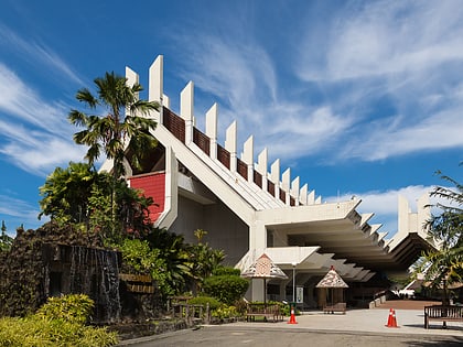
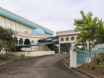
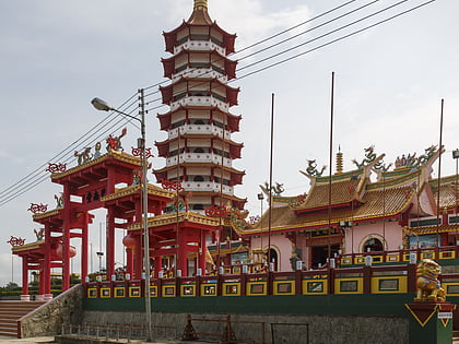
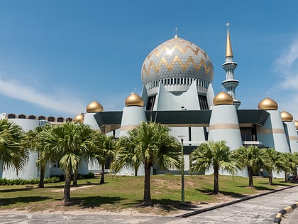
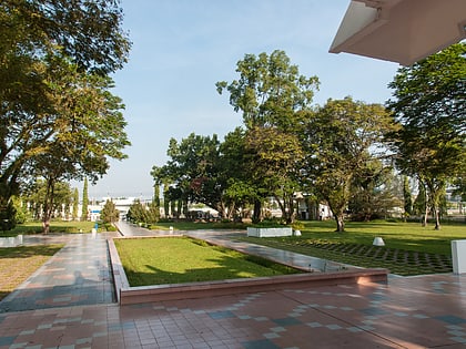
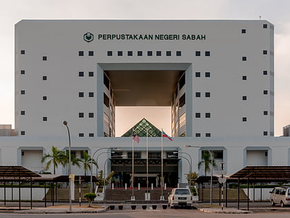
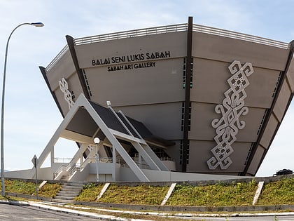
Nearby attractions include: Sabah Museum, Sabah Islamic Civilisation Museum, Peak Nam Toong Temple, Sabah State Mosque.
Frequently Asked Questions (FAQ)
When is Monsopiad Cultural Village open?
Monsopiad Cultural Village is open:
- Monday 9 am - 5 pm
- Tuesday 9 am - 5 pm
- Wednesday 9 am - 5 pm
- Thursday 9 am - 5 pm
- Friday 9 am - 5 pm
- Saturday 9 am - 5 pm
- Sunday 9 am - 5 pm
