Gunung Mulu National Park Travel Guide
Facts and practical information
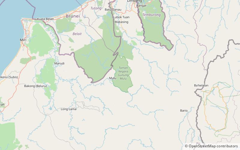
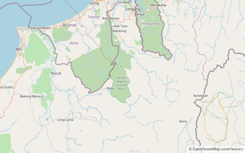
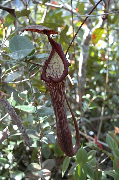
Nestled in the heart of the Sarawak region in Malaysia, Gunung Mulu National Park is a breathtaking destination that promises a unique and unforgettable experience for nature enthusiasts and adventure seekers alike. This extraordinary national park, recognized as a UNESCO World Heritage Site, is renowned for its stunning limestone karst formations, vast cave systems, and diverse flora and fauna.
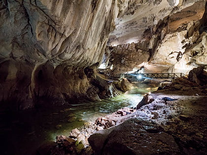
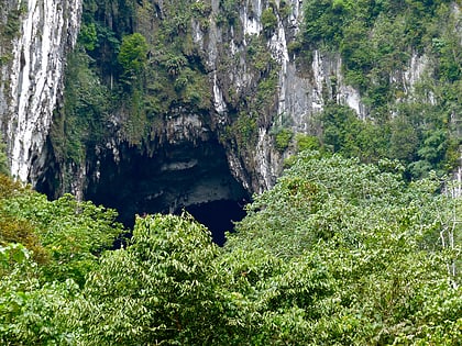
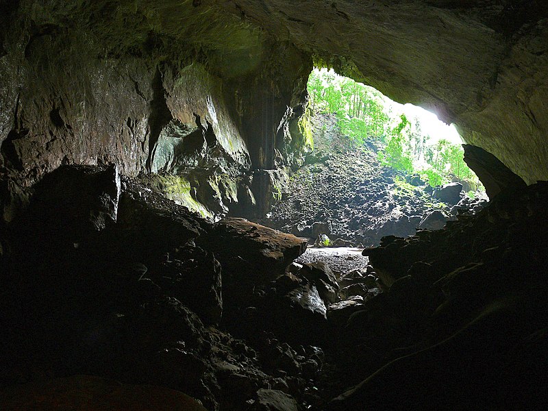
One of the main highlights of Gunung Mulu National Park is its impressive cave network. The park boasts some of the largest and most captivating caves in the world, including the Sarawak Chamber, which is the largest cave chamber by area. Visitors can embark on guided tours to explore the awe-inspiring Deer Cave, Clearwater Cave, and Lang's Cave, each offering its own distinct natural wonders and fascinating rock formations.
Beyond the caves, Gunung Mulu National Park is a paradise for outdoor enthusiasts. The park offers a myriad of activities for adventurers of all levels. Hiking enthusiasts can embark on thrilling treks, such as the challenging climb to the summit of Gunung Mulu, which offers spectacular panoramic views of the surrounding rainforest and mountains. For those seeking a more relaxed experience, there are numerous nature trails that wind through lush jungles, leading to breathtaking waterfalls and natural pools.
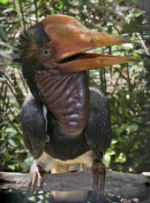
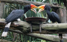
Wildlife enthusiasts will also be delighted by the abundance of unique species that call Gunung Mulu National Park home. From the critically endangered Bornean orangutans to the vibrant birdlife, visitors have the opportunity to observe these incredible creatures in their natural habitats. Night walks offer an enchanting opportunity to spot nocturnal animals, including the elusive colugo, a gliding mammal found in the rainforests of Southeast Asia.
For a truly immersive experience, visitors can stay at one of the park's accommodations, ranging from comfortable lodges to rustic jungle camps. Immerse yourself in the tranquility of the rainforest and wake up to the sounds of nature surrounding you.
Gunung Mulu National Park is not only a haven for nature lovers, but also a place where history and culture converge. The park is home to the indigenous Penan and Berawan tribes, whose rich heritage can be explored through guided cultural tours.
Gunung Mulu National Park Attractions - What to See and Explore
Gunung Mulu National Park offers many attractions and places to visit. Here are the most important ones: Mount Mulu, Clearwater Cave System, Deer Cave, Sarawak Chamber. Below you will find a complete list of places worth visiting.
Best Time To Visit Gunung Mulu National Park
Learn when is the best time to travel to Gunung Mulu National Park weather-wise and what to expect in each season.
Best Ways to Experience the Park
Wildlife
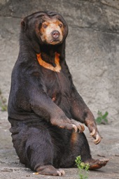
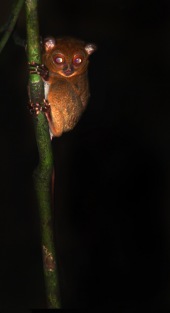
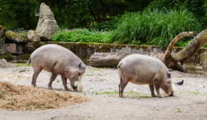
AnimalsSee what popular animal species you can meet in this location.

