Damansara Jaya, Subang Jaya
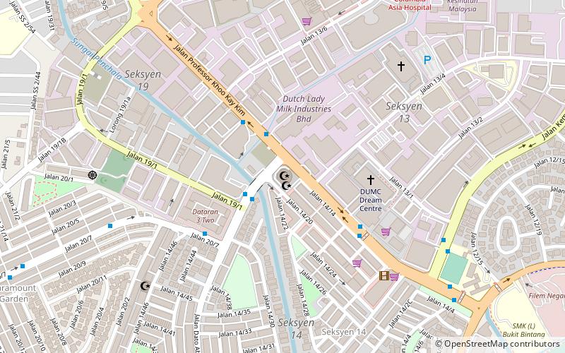
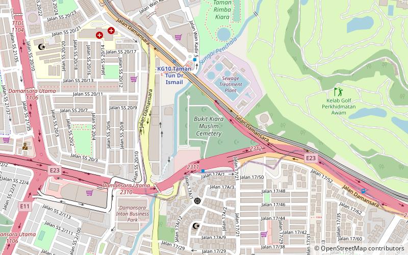
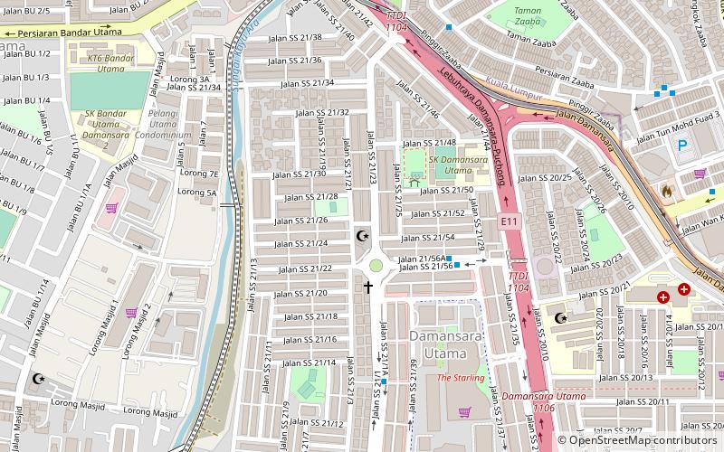
Map
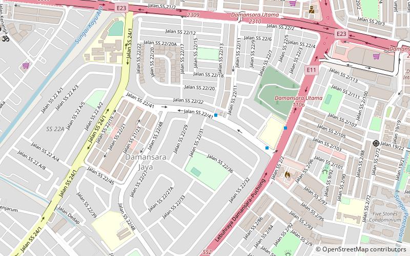
Map

Facts and practical information
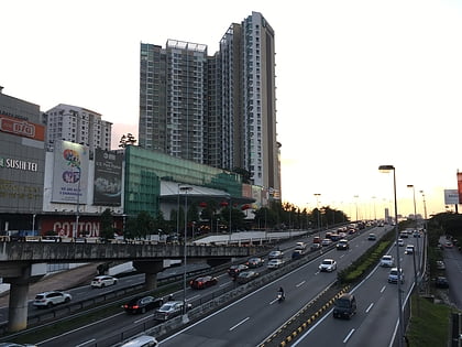
Damansara Jaya is a township consisting of Sections SS22 and SS22A of the city of Petaling Jaya in the state of Selangor, Malaysia. It is situated within the Sungai Buloh mukim of the Petaling district. It covers an estimated area of 1.21 km2 and has an estimated population of 11,678 residents. ()
Established: 1975 (51 years ago)Coordinates: 3°7'39"N, 101°37'12"E
Address
Subang Jaya
ContactAdd
Social media
Add
Day trips
Damansara Jaya – popular in the area (distance from the attraction)
Nearby attractions include: Tropicana City Mall, Tun Abdul Aziz Mosque, Bukit Kiara Muslim Cemetery, Jump Street Trampoline Parks Malaysia.
Frequently Asked Questions (FAQ)
Which popular attractions are close to Damansara Jaya?
Nearby attractions include Al Mujaheddin Mosque, Petaling Jaya (20 min walk), Bukit Kiara Muslim Cemetery, Kuala Lumpur (24 min walk).
How to get to Damansara Jaya by public transport?
The nearest stations to Damansara Jaya:
Bus
Metro
Light rail
Bus
- 7 Eleven, Lebuhraya Sprint • Lines: 780 (9 min walk)
- Public Bank SS2 • Lines: Pj02 (13 min walk)
Metro
- Taman Tun Dr Ismail • Lines: 9 (25 min walk)
Light rail
- Taman Bahagia • Lines: Kj (33 min walk)
- Kelana Jaya • Lines: Kj (38 min walk)

