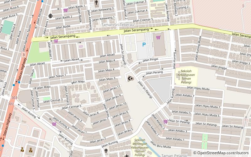
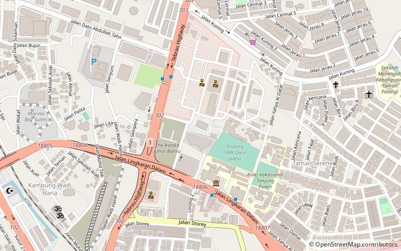
Pasir Pelangi Palace, Johor Bahru
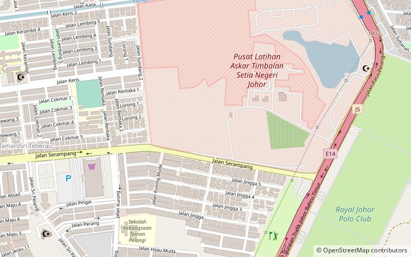
Map
Facts and practical information
The Pasir Pelangi Palace is a royal palace of the Tunku Mahkota of Johor. It is located in the royal town of Pasir Pelangi, Johor Bahru, Johor, Malaysia. ()
Local name: Istana Pasir PelangiCoordinates: 1°29'9"N, 103°46'44"E
Address
Johor Bahru
ContactAdd
Social media
Add
Getting there by public transportation
Public transportation stops near this location
- Bus
 Bus
Bus
- Calculate routeKSL City Mall 29 min walk
Day trips


Frequently Asked Questions (FAQ)
Which popular attractions are close to Pasir Pelangi Palace?
Nearby attractions include Pasir Pelangi Royal Mosque, Johor Bahru (14 min walk), Tun Hussein Onn Jamek Mosque, Johor Bahru (15 min walk), Cathedral of the Sacred Heart of Jesus, Johor Bahru (16 min walk).
How to get to Pasir Pelangi Palace by public transport?
The nearest stations to Pasir Pelangi Palace:
Bus
Bus
- KSL City Mall • Lines: S1 (29 min walk)