West Port, Pulau Indah

Gallery (1)
Map
Map
Facts and practical information
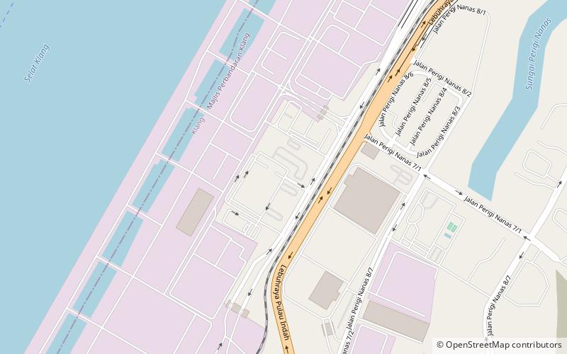
Westports Malaysia Sdn Bhd is a multi-cargo terminal located on Pulau Indah, Port Klang, Malaysia which is accessible by road via Pulau Indah Expressway, connecting to the KESAS Highway. On 1 October 2013, Pulau Indah was directly connected to the Malaysian Administrative Capital, Putrajaya via the South Klang Valley Expressway. ()
Local name: Pelabuhan BaratCoordinates: 2°56'59"N, 101°18'29"E
Day trips
West Port – popular in the area (distance from the attraction)
Nearby attractions include: Klang Island.