Klang District, Klang
Map

Map

Facts and practical information
The Klang District is a district in Selangor, Malaysia. It is located in the western part of Selangor. It borders the Kuala Selangor District to the north, Petaling to the east, Kuala Langat district to the south and Malacca Straits to the west. The district was further divided into two mukims which is Klang and Kapar that covers 626.78 square km of land with 53.75 km of coastline. ()
Address
Klang
ContactAdd
Social media
Add
Day trips
Klang District – popular in the area (distance from the attraction)
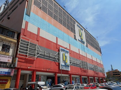
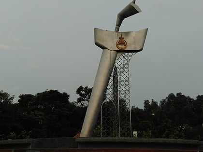
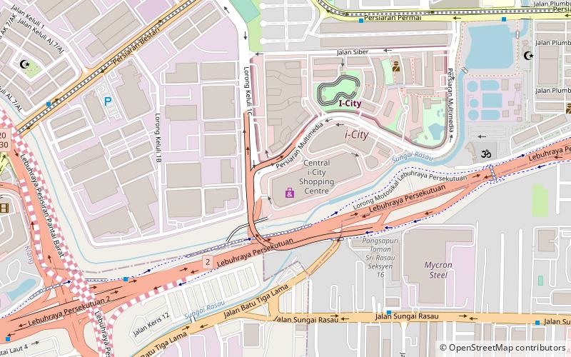
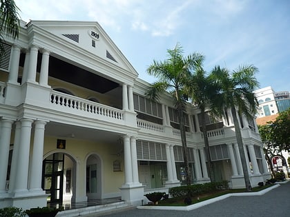
Nearby attractions include: Sultan Sulaiman Mosque, Shaw Centrepoint, Tugu Keris, Central i-City.


