Mount Alab, Crocker Range National Park

Map
Facts and practical information
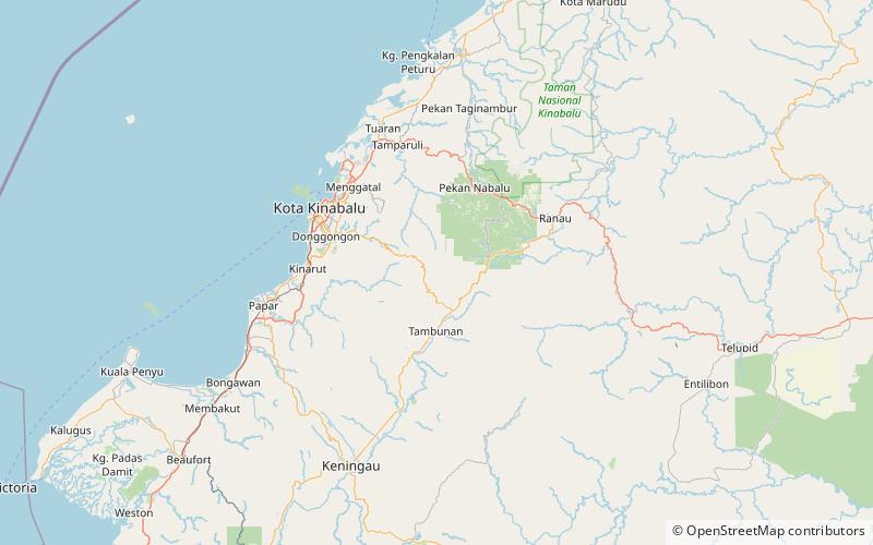
Mount Alab is a mountain located at the West Coast Division of Sabah, Malaysia. The mountain is located approximately 30 km from Sabah's capital of Kota Kinabalu, where it can be highly visible from the city on a clear sky and easily recognisable with the presence of telecommunications tower near its peak, approximately at 5°49′47″N 116°20′30″E. With a height of 1,951 metres, it is the highest mountain within the Crocker Range in Sabah outside the protected park area and lies to the south of the highest peak on Borneo island, the Mount Kinabalu. ()
Elevation: 6401 ftCoordinates: 5°49'0"N, 116°22'1"E
Address
Crocker Range National Park
ContactAdd
Social media
Add
Day trips
Mount Alab – popular in the area (distance from the attraction)
Nearby attractions include: Mahua Waterfall.
