Sungai Udang Recreational Forest

Gallery (1)
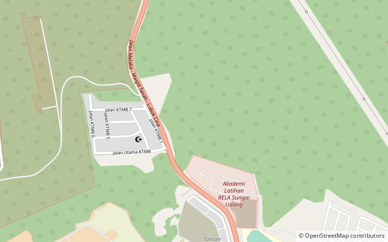
Map
Map
Facts and practical information
Sungai Udang is a mukim and town in Melaka Tengah, Malacca, Malaysia. It is situated within the parliamentary constituency of Tangga Batu. ()
Local name: Hutan Rekreasi Sungai UdangCoordinates: 2°18'3"N, 102°7'55"E
Location
Melaka
ContactAdd
Social media
Add
Day trips


