Gunung Ledang National Park

Gallery (1)
Map
Map
Facts and practical information
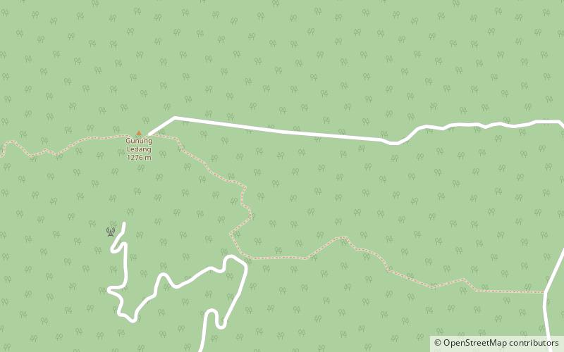
The Gunung Ledang National Park is a national park in Tangkak District, Malaysia. which contains the 1,276 m peak of Mount Ophir. It was established in 2005, and now it is one of the most famous hiking goals in the nation. ()
Elevation: 3560 ft a.s.l.Coordinates: 2°22'19"N, 102°36'44"E
Location
Johor
ContactAdd
Social media
Add
Day trips
Gunung Ledang National Park – popular in the area (distance from the attraction)
Nearby attractions include: Mount Ophir, Jementah, Pekan Asahan.


