Kuala Terengganu District, Kuala Terengganu
Map
Facts and practical information
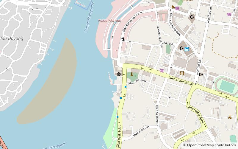
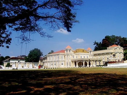
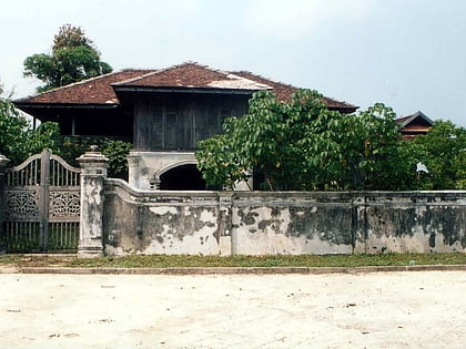
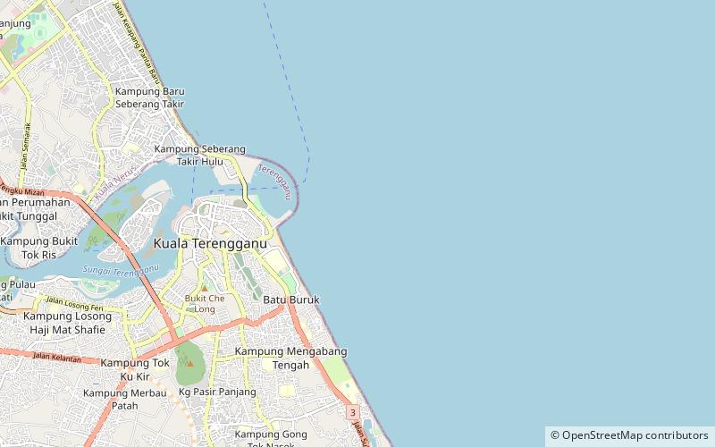
The Kuala Terengganu District is a district in the state of Terengganu, Malaysia. It covers an area of 210.21 square kilometres, and had a population of 343,284 at the 2010 Census. The district is bordered by Terengganu River which separates Kuala Nerus District in the north and west, Marang District in the south and South China Sea in the east. The capital of this district is Kuala Terengganu. ()
Address
Kuala Terengganu
ContactAdd
Social media
Add
Day trips
Kuala Terengganu District – popular in the area (distance from the attraction)
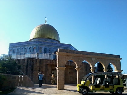
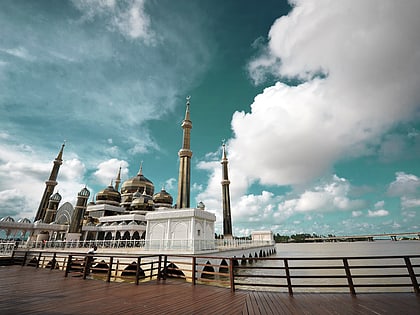
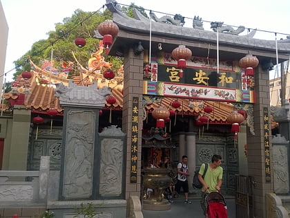
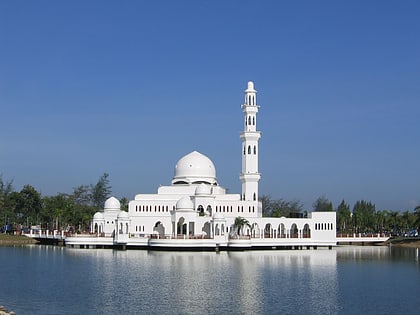
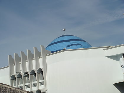
Nearby attractions include: Taman Tamadun Islam, Crystal Mosque, Ho Ann Kiong Temple, Tengku Tengah Zaharah Mosque.
