Batu Uban, George Town
Map

Map

Facts and practical information
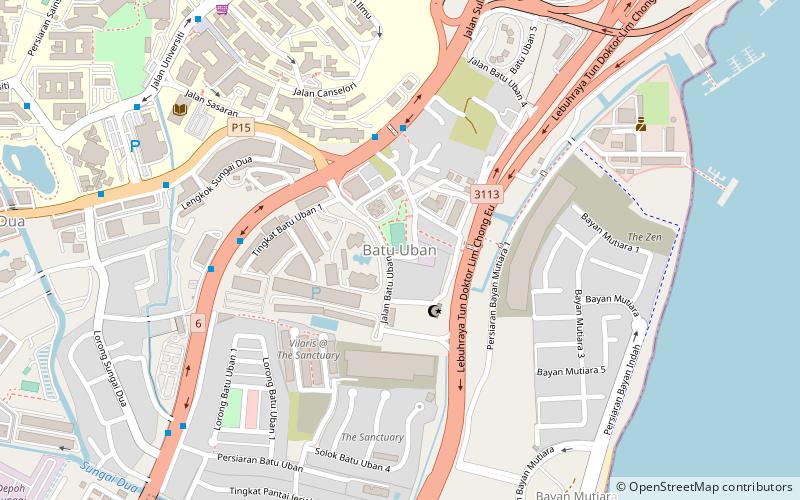
Batu Uban is a residential neighbourhood at the eastern coast of Penang Island in Malaysia, about 6.7 km south of the centre of George Town, Penang's capital city, and adjacent to the Gelugor suburb. Founded by ethnic Minangkabaus in the early 18th century, Batu Uban is regarded as the oldest Malay settlement on Penang Island. ()
Coordinates: 5°21'6"N, 100°18'30"E
Address
George Town
ContactAdd
Social media
Add
Day trips
Batu Uban – popular in the area (distance from the attraction)
Nearby attractions include: Penang Bridge, Sungai Dua, Minden Heights, Taman Tun Sardon.
Frequently Asked Questions (FAQ)
Which popular attractions are close to Batu Uban?
Nearby attractions include Universiti Sains Malaysia, George Town (14 min walk), Sungai Dua, George Town (17 min walk), Penang Bridge, Bayan Lepas (20 min walk), Minden Heights, George Town (24 min walk).
How to get to Batu Uban by public transport?
The nearest stations to Batu Uban:
Bus
Bus
- Sungai Nibong Bus Terminal (21 min walk)


