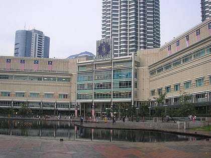
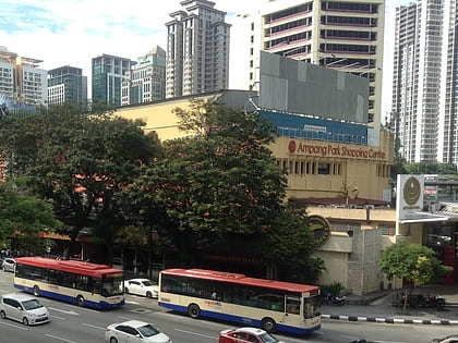
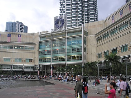
Kota Kemuning Lakeside Park, Kuala Lumpur
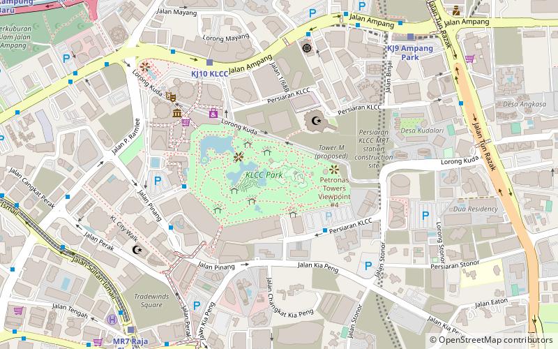
Map
Facts and practical information
The Kota Kemuning Lakeside Park is an urban park in Kota Kemuning, Shah Alam. The park has been designed to provide greenery to Kota Kemuning and the areas surrounding it. ()
Elevation: 141 ft a.s.l.Coordinates: 3°9'20"N, 101°42'54"E
Address
Bukit Bintang (Kuala Lumpur Pusat Bandar)Kuala Lumpur
ContactAdd
Social media
Add
Day trips
Kota Kemuning Lakeside Park – popular in the area (distance from the attraction)
Nearby attractions include: Petronas Towers, Petrosains, Suria KLCC, Lot 10.
Frequently Asked Questions (FAQ)
Which popular attractions are close to Kota Kemuning Lakeside Park?
Nearby attractions include KLCC Park, Kuala Lumpur (2 min walk), Petronas Towers, Kuala Lumpur (2 min walk), As Syakirin Mosque, Kuala Lumpur (4 min walk), Kuala Lumpur Convention Centre, Kuala Lumpur (5 min walk).
How to get to Kota Kemuning Lakeside Park by public transport?
The nearest stations to Kota Kemuning Lakeside Park:
Bus
Light rail
Train
Metro
Bus
- KL Convention Center • Lines: Green (7 min walk)
- Kun Yam Thong Temple • Lines: Green (8 min walk)
Light rail
- Klcc • Lines: Kj (8 min walk)
- Ampang Park • Lines: Kj (11 min walk)
Train
- Raja Chulan (12 min walk)
- Bukit Bintang (18 min walk)
Metro
- Bukit Bintang • Lines: 9 (18 min walk)
- Tun Razak Exchange • Lines: 9 (25 min walk)
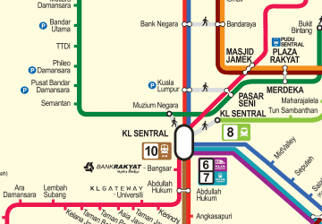 Rapid KL