Bukit Lanjan, Kuala Lumpur
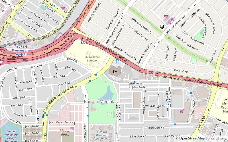
Map
Facts and practical information
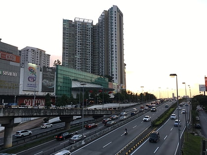
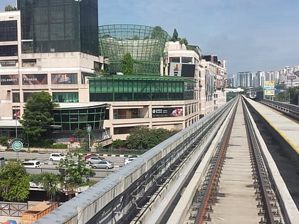
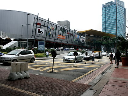
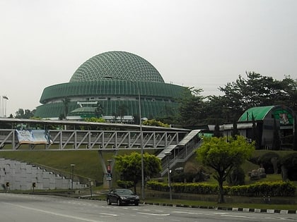
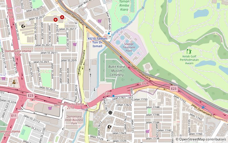
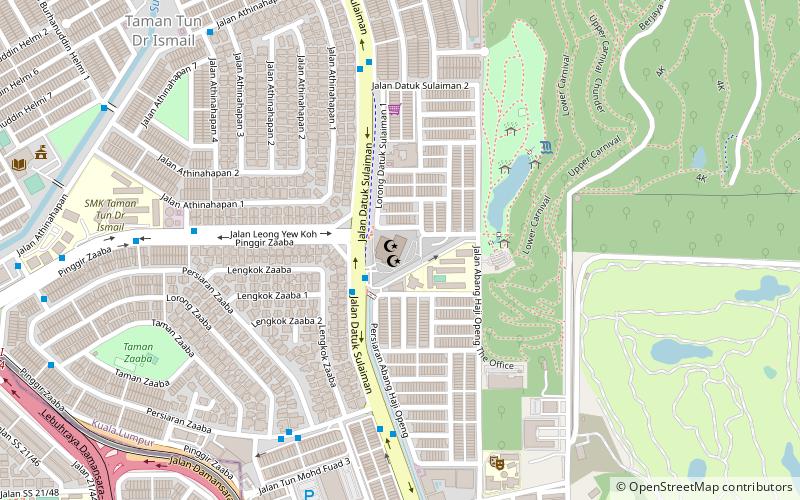
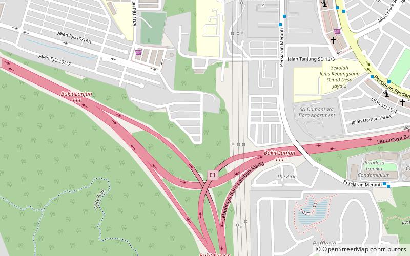
Bukit Lanjan is a Malaysian hill in the Petaling district of Selangor. It is also the name of a state constituency of the Selangor State Assembly. Bukit Lanjan is part of the Damansara parliamentary constituency. ()
Coordinates: 3°10'60"N, 101°35'60"E
Address
Kuala Lumpur
ContactAdd
Social media
Add
Day trips
Bukit Lanjan – popular in the area (distance from the attraction)
Nearby attractions include: Tropicana City Mall, TPC Kuala Lumpur, KidZania Kuala Lumpur, 1 Utama.
Frequently Asked Questions (FAQ)
How to get to Bukit Lanjan by public transport?
The nearest stations to Bukit Lanjan:
Bus
Bus
- Damansara Damai Bus Terminal (27 min walk)
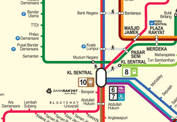 Rapid KL