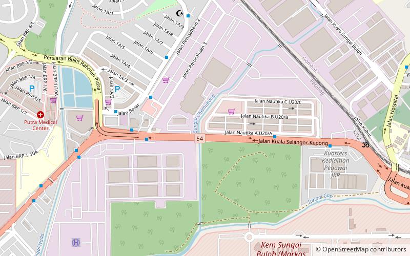
Gombak District, Kuala Lumpur
Facts and practical information
The Gombak District is an administrative district located in the state of Selangor, Malaysia. The district was created on February 1, 1974, the same day when Kuala Lumpur was declared a Federal Territory. Until 1997, Rawang was the district capital; the capital has been moved to Bandar Baru Selayang. Gombak borders Kuala Lumpur to the southeast and the Genting Highlands to the east. Both Gombak and Kuala Lumpur, along with some other districts in Selangor, are situated within the Klang Valley. Other localities that are situated in Gombak district include Batu Arang, Kuang, Rawang, Bandar Kundang, Gombak Town, Selayang, Kepong and Hulu Kelang. ()
Kuala Lumpur
Gombak District – popular in the area (distance from the attraction)
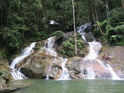
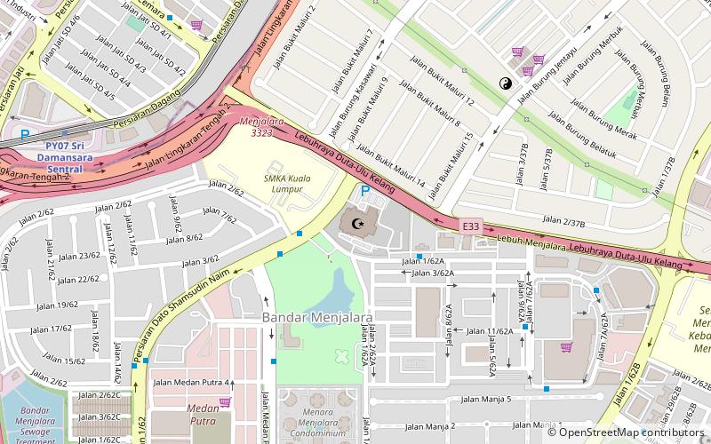
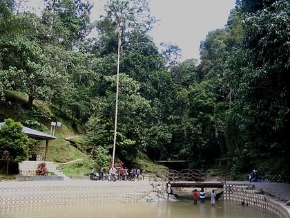
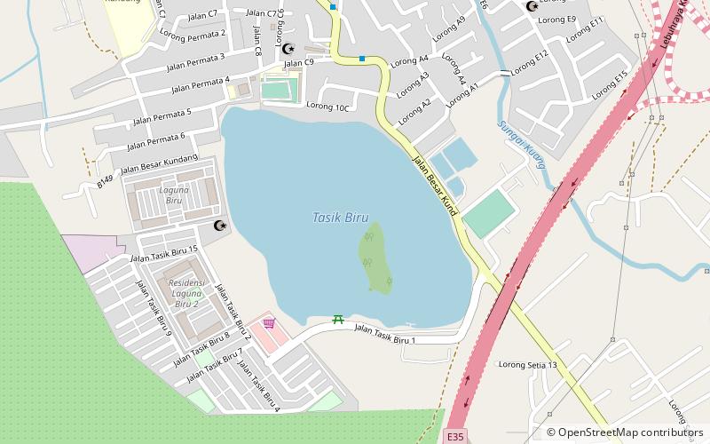
Nearby attractions include: Kanching Falls, Imam Al Ghazali Mosque, Templer Park, Tasik Biru Seri Kundang.
Frequently Asked Questions (FAQ)
How to get to Gombak District by public transport?
Train
- Kuang (40 min walk)
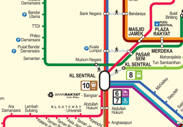 Rapid KL