Dataran Bandaraya Johor Bahru, Johor Bahru
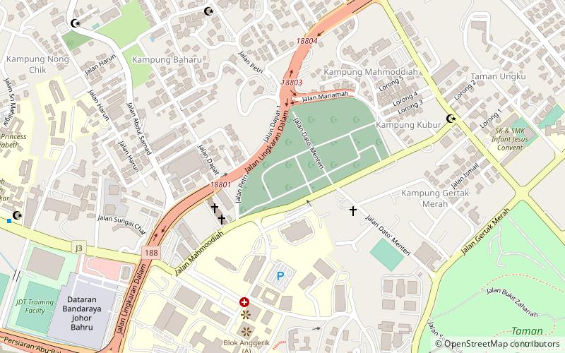
Map
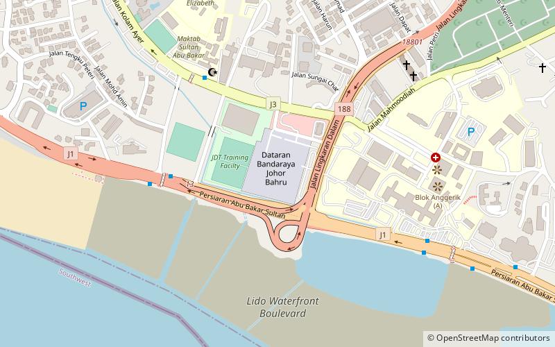
Map

Facts and practical information
Dataran Bandaraya Johor Bahru or is the main square in Johor Bahru, Johor, Malaysia. ()
Local name: Dataran BandarayaCompleted: 1 January 1994 (32 years ago)Coordinates: 1°27'34"N, 103°44'31"E
Address
Jalan Datuk, 3 km west of the CausewayJohor Bahru
ContactAdd
Social media
Add
Day trips
Dataran Bandaraya Johor Bahru – popular in the area (distance from the attraction)
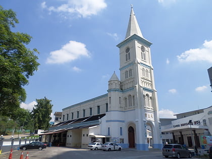
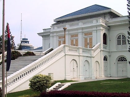
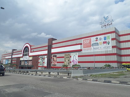
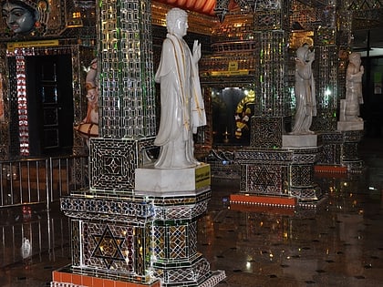
Nearby attractions include: Church of the Immaculate Conception, Istana Besar, Danga City Mall, Arulmigu Sri Rajakaliamman Glass Temple.
Frequently Asked Questions (FAQ)
Which popular attractions are close to Dataran Bandaraya Johor Bahru?
Nearby attractions include Kianggeh Muslim Cemetery, Johor Bahru (14 min walk), Mahmoodiah Royal Mausoleum, Johor Bahru (14 min walk), Tanjong Kindana Royal Mausoleum, Johor Bahru (14 min walk), Abu Bakar Royal Mosque, Johor Bahru (16 min walk).
How to get to Dataran Bandaraya Johor Bahru by public transport?
The nearest stations to Dataran Bandaraya Johor Bahru:
Bus
Bus
- Danga City Mall • Lines: S1 (35 min walk)

