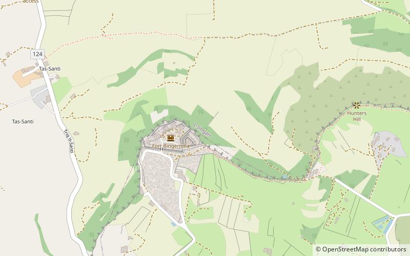
Fort Binġemma, Manikata
Map

Map

Facts and practical information
Fort Binġemma is a polygonal fort in the limits of Rabat, Malta. It was built between 1875 and 1878 by the British as part of the Victoria Lines. The fort has been illegally occupied by the Buttigieg family since 2009, who occasionally use it as a restaurant. It is set on a hill of around 590 feet above sea level. Previous to the building of the fort there used to be a Roman city or village. ()
Built: 1875 (151 years ago)Coordinates: 35°54'14"N, 14°21'49"E
Day trips
Fort Binġemma – popular in the area (distance from the attraction)
Nearby attractions include: Ta' Ħaġrat Temples, Mgarr Church, Skorba Temples, St Martin's Chapel.
Frequently Asked Questions (FAQ)
Which popular attractions are close to Fort Binġemma?
Nearby attractions include Nadur Tower, Manikata (12 min walk), Chapel of the Immaculate Conception, Manikata (22 min walk).
How to get to Fort Binġemma by public transport?
The nearest stations to Fort Binġemma:
Bus
Bus
- Ir-Rabat - Żinżla • Lines: 109 (11 min walk)
- Il-Baħrija - Bajdar • Lines: 109 (20 min walk)


