Fort Mellieħa, Mellieħa
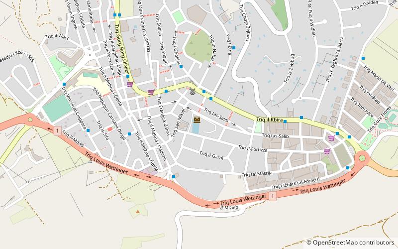
Map
Facts and practical information
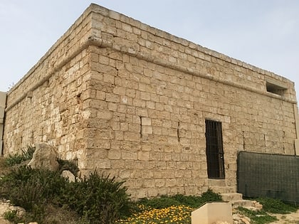
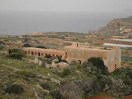
Fort Mellieħa or Mellieħa Fort, also known as Il-Fortizza tas-Salib, is a World War II-era fort in Mellieħa, Malta. It was built by the British on top of Mellieħa hill, to serve as a civil defence depot and an observation post. The structure is lightly fortified by a perimeter wall. ()
Built: 1940 (86 years ago)Coordinates: 35°57'19"N, 14°21'55"E
Day trips
Fort Mellieħa – popular in the area (distance from the attraction)
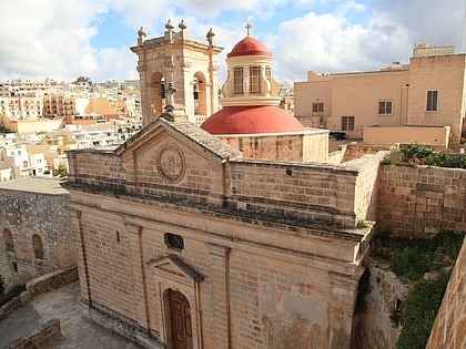
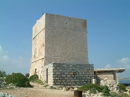
Nearby attractions include: Selmun Palace, Parish Church of the Nativity of the Virgin Mary, Westreme Battery, Sanctuary of Our Lady of Mellieħa.
Frequently Asked Questions (FAQ)
Which popular attractions are close to Fort Mellieħa?
Nearby attractions include Sanctuary of Our Lady of Mellieħa, Mellieħa (11 min walk), Parish Church of the Nativity of the Virgin Mary, Mellieħa (12 min walk), The Devil's Farmhouse, Mellieħa (22 min walk), Westreme Battery, Mellieħa (23 min walk).
How to get to Fort Mellieħa by public transport?
The nearest stations to Fort Mellieħa:
Bus
Bus
- Braġġ • Lines: 101, 221, 222, 250, 41, 42, 49, N11 (2 min walk)
- Etna • Lines: 101, 221, 222, 250, 41, 42, 49, N11 (3 min walk)


