Fort Saint Rocco, Fgura

Map
Facts and practical information
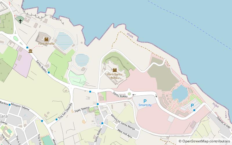
Fort Saint Rocco, also known as Fort Saint Roca on some maps, is a polygonal fort in Kalkara, Malta. It is located east of Rinella Battery and seaward of the village of Santu Rokku, and forms part of the complex of shore batteries built by the British to defend the coast east of the mouth of Grand Harbour between the 1870s and 1900s. ()
Address
Fgura
ContactAdd
Social media
Add
Day trips
Fort Saint Rocco – popular in the area (distance from the attraction)
Nearby attractions include: Fort St. Angelo, Malta Maritime Museum, Fort Rinella, Malta at War Museum.
Frequently Asked Questions (FAQ)
Which popular attractions are close to Fort Saint Rocco?
Nearby attractions include Fort Rinella, Fgura (10 min walk), Kalkara Naval Cemetery, Xgħajra (10 min walk), Kalkara, Fgura (14 min walk), Fort Ricasoli, Fgura (18 min walk).
How to get to Fort Saint Rocco by public transport?
The nearest stations to Fort Saint Rocco:
Bus
Bus
- Smart City • Lines: 3 (4 min walk)
- Tewma • Lines: 3 (4 min walk)


