Kalkara, Fgura
Map

Gallery

Facts and practical information
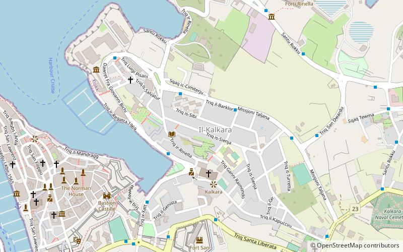
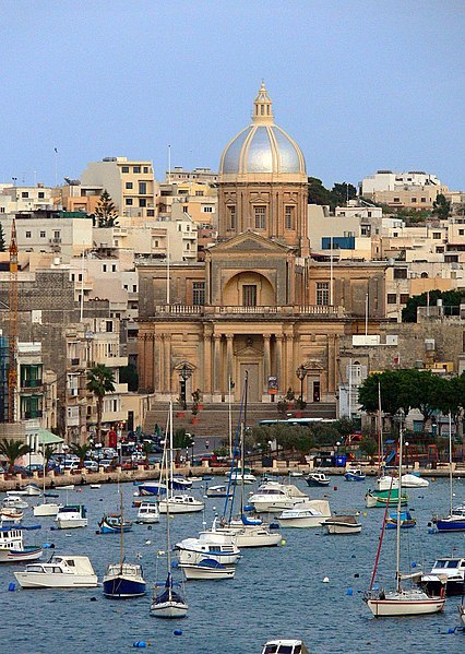
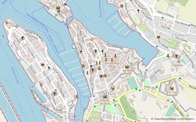
Kalkara is a village in the South Eastern Region of Malta, with a population of 3,014 as of March 2014. The name is derived from the Latin word for lime, and it is believed that there was a lime kiln present there since Roman times. Kalkara forms part of the inner harbour area and occupies the area around Kalkara Creek. The town has its own Local Council and is bordered by the cities of Birgu and Żabbar, as well as the town of Xgħajra. ()
Day trips
Kalkara – popular in the area (distance from the attraction)
Nearby attractions include: Fort St. Angelo, Malta Maritime Museum, Fort Rinella, Malta at War Museum.
Frequently Asked Questions (FAQ)
Which popular attractions are close to Kalkara?
Nearby attractions include Fort San Salvatore, Fgura (7 min walk), Esplora Interactive Science Centre, Fgura (8 min walk), Fort Rinella, Fgura (8 min walk), Auberge d'Aragon, Fgura (9 min walk).
How to get to Kalkara by public transport?
The nearest stations to Kalkara:
Bus
Bus
- Luqqata • Lines: 213, 3 (3 min walk)
- Rinella • Lines: 213, 3 (3 min walk)


