Ta' Dmejrek, Malta Island
Map

Map

Facts and practical information
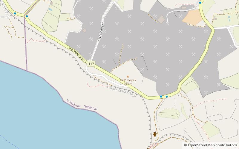
Ta' Dmejrek is the highest point of Malta, located on the Dingli Cliffs, with an elevation of 253 metres.. ()
Address
Malta Island
ContactAdd
Social media
Add
Day trips
Ta' Dmejrek – popular in the area (distance from the attraction)
Nearby attractions include: Verdala Palace, Buskett Gardens, St. Mary Magdalene Chapel, Girgenti Palace.
Frequently Asked Questions (FAQ)
Which popular attractions are close to Ta' Dmejrek?
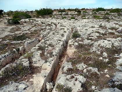
Nearby attractions include Misraħ Għar il-Kbir, Malta Island (10 min walk), Cart Ruts, Dingli (13 min walk), Girgenti Palace, Malta Island (18 min walk), St. Mary Magdalene Chapel, Dingli (19 min walk).
How to get to Ta' Dmejrek by public transport?
The nearest stations to Ta' Dmejrek:
Bus
Bus
- Ħad-Dingli - Zuta • Lines: 201 (6 min walk)
- Il-Buskett - Buskett • Lines: 181, 56 (17 min walk)


