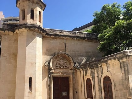
St Luke's Garrison Chapel, Sliema
Map
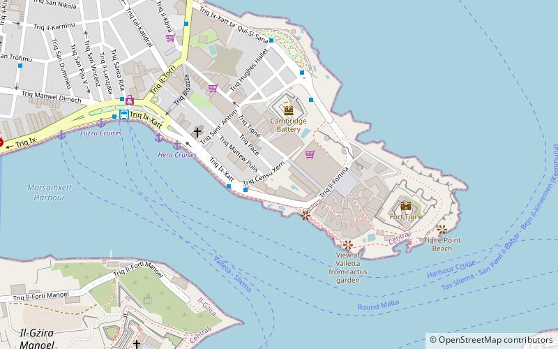
Map

Facts and practical information
The St Luke's Garrison Chapel is a defunct Anglican church which formed part of the Tigné Barracks and Cambridge Battery used by the British army till 1979. Nowadays the building is no longer used for religious purposes, and was converted into offices. ()
Completed: 1910 (116 years ago)Coordinates: 35°54'27"N, 14°30'34"E
Address
Sliema
ContactAdd
Social media
Add
Day trips
St Luke's Garrison Chapel – popular in the area (distance from the attraction)
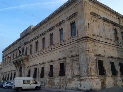
Nearby attractions include: Auberge de Bavière, Fortifications Interpretation Centre, St Paul's Pro-Cathedral, Casa Rocca Piccola.
Frequently Asked Questions (FAQ)
Which popular attractions are close to St Luke's Garrison Chapel?
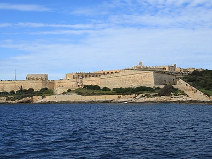
Nearby attractions include Tigné Point, Valletta (3 min walk), Garden Battery, Sliema (3 min walk), Cambridge Battery, Sliema (3 min walk), Fort Tigné, Sliema (6 min walk).
How to get to St Luke's Garrison Chapel by public transport?
The nearest stations to St Luke's Garrison Chapel:
Bus
Bus
- Xerri • Lines: 110, 13, 13A, 14, 16, 202, 21, 212, 222, 225, 233, N13, X2 (2 min walk)
- Locker • Lines: 110, 13, 13A, 14, 16, 202, 21, 212, 222, 225, 233, N13, X2 (5 min walk)
