Ħondoq ir-Rummien, Gozo

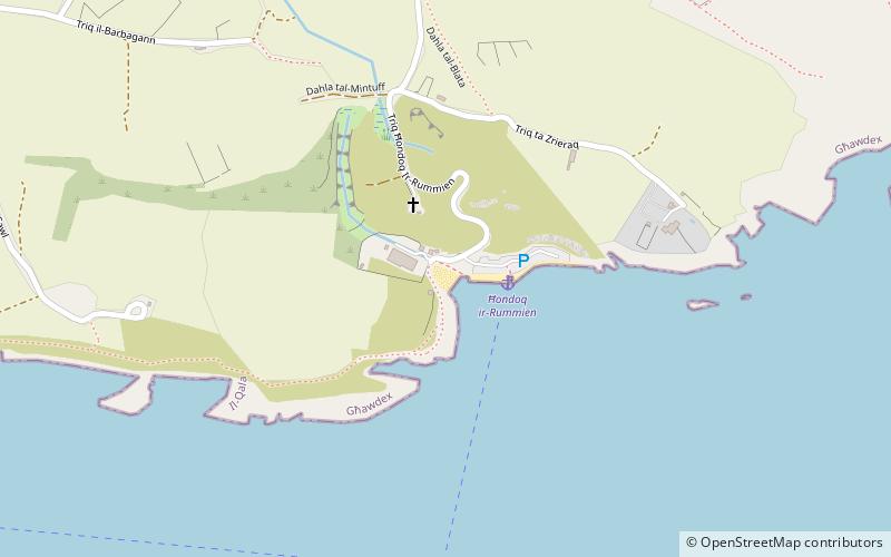
Map
Facts and practical information
Ħondoq ir-Rummien, the coastline below the village of Qala is dotted with traditional salt pans, some of which are still actively used to harvest salt throughout the summer months. On this coast is a small cove, Ħondoq ir-Rummien, which is used by snorkelers because of its deep and clear water and the small caves at water level. Access to the sea is from bathing ladders. The cove has a view of Comino. There is also a small white sand beach sheltered by a small promontory on the southwest side. ()
Coordinates: 36°1'41"N, 14°19'19"E
Address
Gozo
ContactAdd
Social media
Add
Day trips
Ħondoq ir-Rummien – popular in the area (distance from the attraction)
Nearby attractions include: Saint Anthony's Battery, Comino Chapel, Parish Church of the Immaculate Conception and St. Joseph, Cominotto.


