Mselliet, Buġibba

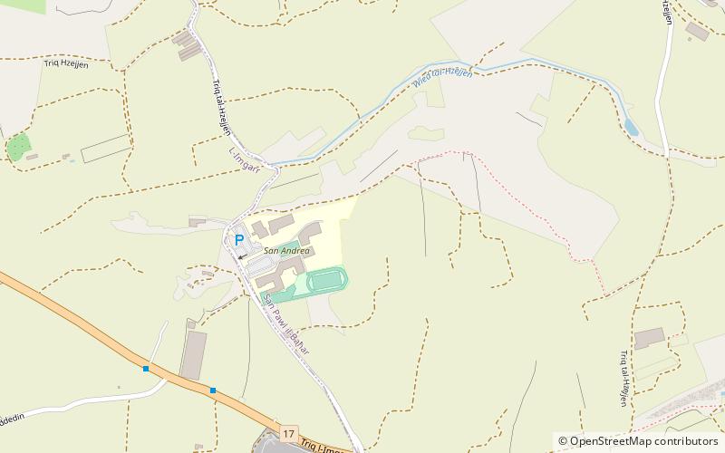
Map
Facts and practical information
Mselliet is an area in northern Malta, lying within the limits of Mġarr and St. Paul's Bay. It is primarily made up of agricultural land, and it includes the Mselliet Valley. ()
Coordinates: 35°55'1"N, 14°23'41"E
Address
Buġibba
ContactAdd
Social media
Add
Day trips
Mselliet – popular in the area (distance from the attraction)
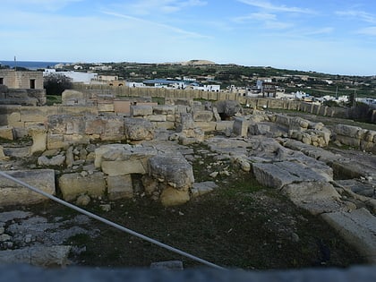
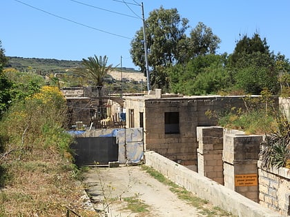
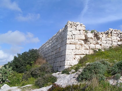
Nearby attractions include: Skorba Temples, San Pawl Milqi, Tarġa Battery, Falca Lines.
Frequently Asked Questions (FAQ)
Which popular attractions are close to Mselliet?
Nearby attractions include Falca Lines, Buġibba (12 min walk), Tarġa Battery, Buġibba (21 min walk).
How to get to Mselliet by public transport?
The nearest stations to Mselliet:
Bus
Bus
- Iż-Żebbiegħ - Iż-Żebbiegħ • Lines: 238, 44 (8 min walk)
- Il-Mosta - Hzejjen • Lines: 238, 44 (9 min walk)


