Mistra Rocks, Xaghra

Facts and practical information
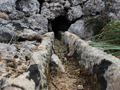
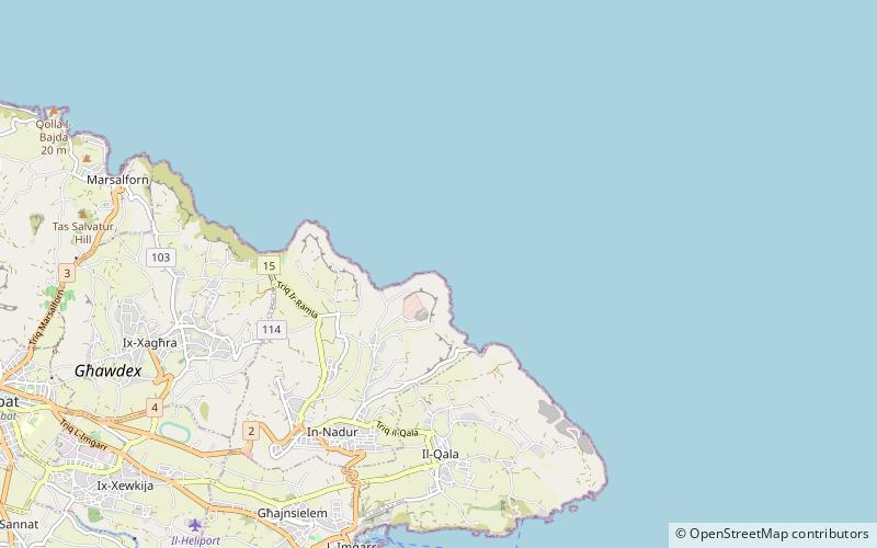
Mistra Rocks' is a coastline stretching from San Blas Bay to Riħan Valley in Nadur, Gozo, Malta. It is a naturally occurring rubble rocky area at the site of the ta' Sopu Tower. It has an endangered ecosystem being the niche of a number of species, such as wild shrubs and small animals. The geographical area has a rough terrain, making it difficult to access other than on foot. Remains of Maltese rubble walls and water canals, built over a hundred years ago, are taken as primarily evidence that until recent human activity took place for agricultural purposes. Some stretches of land were used as a quarry, but other than that the area was not altered by man-made intervention. Huge rocks, some the size of small houses, pile over each other forming deep talus 'caves'. The area is considered a walker's paradise for visitors, even if so safety precautions should be taken in consideration when visiting, preferably with the assistance of locals. ()
Xaghra
Mistra Rocks – popular in the area (distance from the attraction)
Nearby attractions include: Ġgantija, Our Lady of Loreto Parish Church, Fort Chambray, Ramla Redoubt.
Frequently Asked Questions (FAQ)
How to get to Mistra Rocks by public transport?
Bus
- In-Nadur - Weraq • Lines: 303 (19 min walk)
- Qasab • Lines: 302, 322 (30 min walk)
