La Demeure Saint Antoine, Goodlands
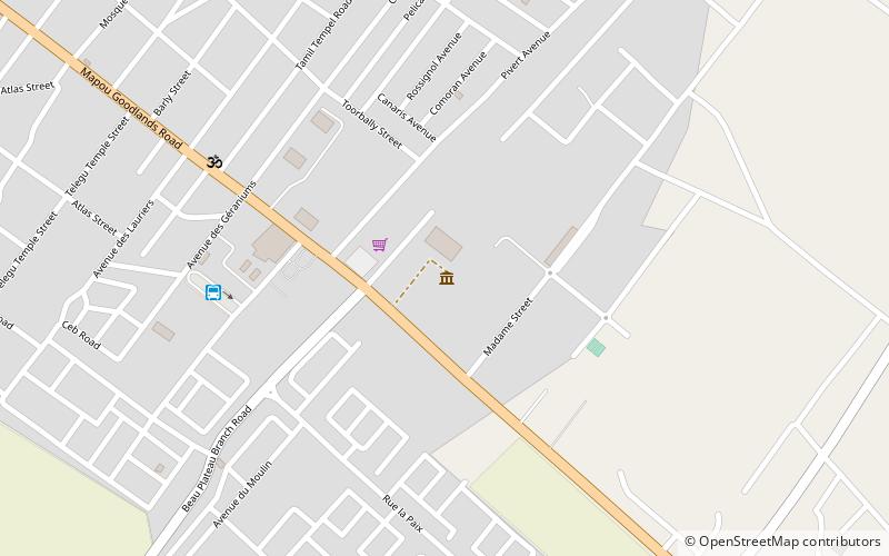
Map

Map

Facts and practical information
La Demeure Saint Antoine (address: Royal Road) is a place located in Goodlands (Rivière du Rempart district) and belongs to the category of museum.
It is situated at an altitude of 128 feet, and its geographical coordinates are 20°2'32"S latitude and 57°39'29"E longitude.
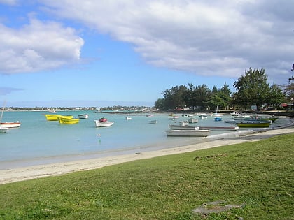
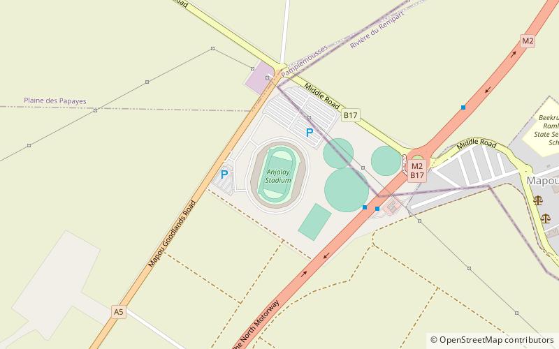
Among other places and attractions worth visiting in the area are: Grand-Gaube, Mauritius Island (town, 64 min walk), Stade Anjalay, Mapou (arenas and stadiums, 115 min walk), Grand Bay (village, 132 min walk).
Coordinates: 20°2'32"S, 57°39'29"E
Day trips
La Demeure Saint Antoine – popular in the area (distance from the attraction)
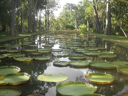
Nearby attractions include: Sir Seewoosagur Ramgoolam Botanical Garden, Grand Bay, Grand-Gaube, Stade Anjalay.


