Grand Port District, Mauritius Island
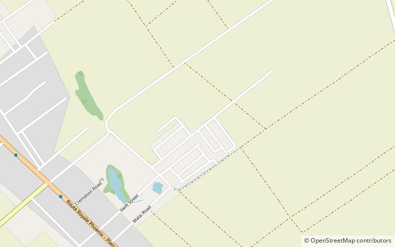
Map

Map

Facts and practical information
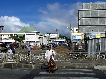
Grand Port is a district of Mauritius, situated in the east of the island. The name means "large port" in French. The district has an area of 260.3 km2 and the population estimate was at 112,997 as of 31 December 2015. ()
Address
Mauritius Island
ContactAdd
Social media
Add
Day trips
Grand Port District – popular in the area (distance from the attraction)
Nearby attractions include: Vallée de Ferney, Mahebourg, Rivière Du Poste, Plaine Magnien.


