Benito Juárez National Park
Map
Gallery

Facts and practical information
The Benito Juárez National Park is in the Valles Centrales Region of Oaxaca, Mexico, and includes parts of the municipalities of San Felipe Tejalapam and San Andres Huayapan. The southern boundary of the park is about 5 kilometers north of the City of Oaxaca. The park was established in 1937 during the presidency of General Lazaro Cardenas del Rio, and is named after President Benito Juárez, who was a native of Oaxaca. ()
Local name: Parque nacional Benito Juárez Area: 10.01 mi²Elevation: 5709 ft a.s.l.Coordinates: 17°8'4"N, 96°44'20"W
Location
Oaxaca
ContactAdd
Social media
Add
Day trips
Benito Juárez National Park – popular in the area (distance from the attraction)
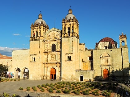
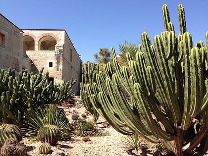
Nearby attractions include: Templo de Santo Domingo de Guzmán, Basilica of Nuestra Señora de Soledad, Museo Rufino Tamayo, Jardín Etnobotánico.


