Cumbres de Majalca National Park
Map
Gallery
Facts and practical information
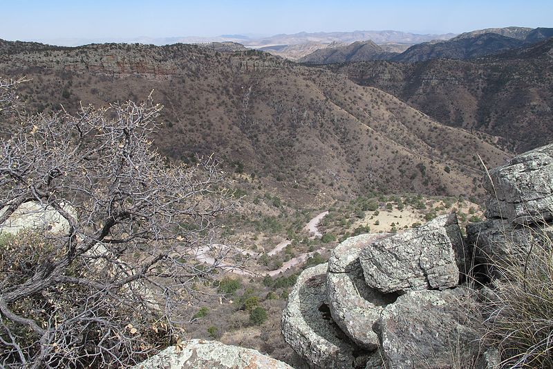
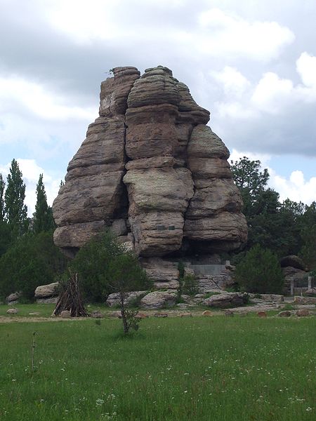
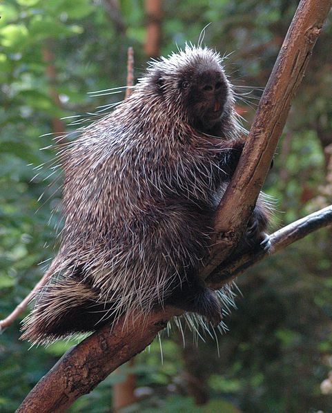
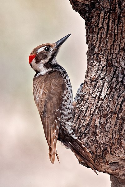
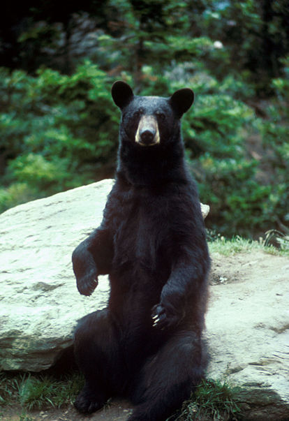
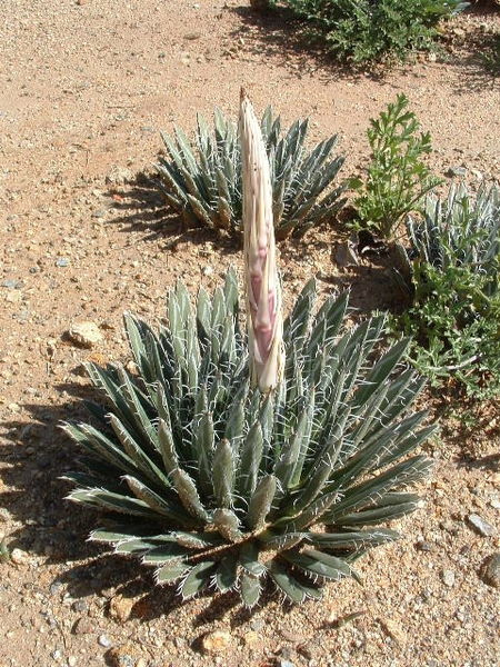
The Cumbres de Majalca National Park is a national park in the Mexican state of Chihuahua located 88 km northwest of the city of Chihuahua. The park showcases extraordinary rock formations that have been shaped by wind and water erosion. The park was created by presidential decree in 1939 encompassing 4,772 hectares to protect the endemic flora and fauna. The park is characterized by pine and oak forest. It is also one of the few areas in Mexico that are inhabited by black bear. ()
Local name: Parque nacional Cumbres de Majalca Established: 1 September 1939 (86 years ago)Area: 18.15 mi²Elevation: 6949 ft a.s.l.Coordinates: 28°48'14"N, 106°29'10"W
Location
Chihuahua
ContactAdd
Social media
Add
Best Ways to Experience the Park
Wildlife
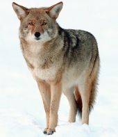
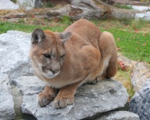
AnimalsSee what popular animal species you can meet in this location.
More
Show more


