Pico del Águila, Cumbres del Ajusco National Park
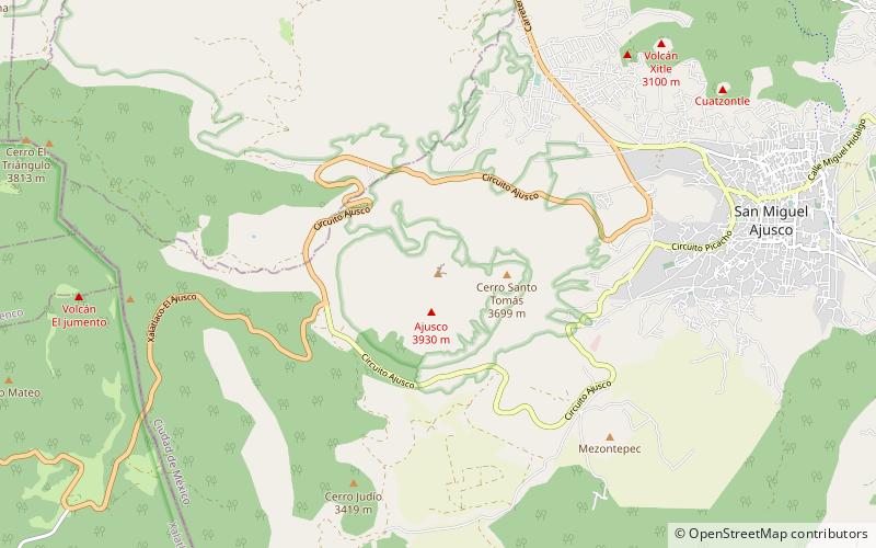
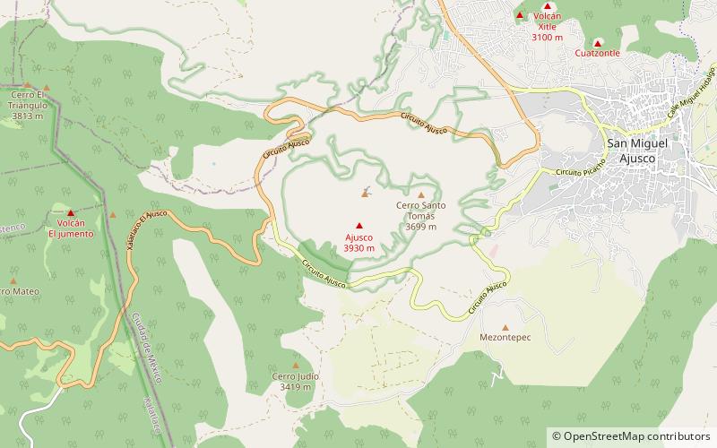
Map
Facts and practical information
Pico del Águila is a peak of the mountain range called Ajusco Volcano 3,937 mt, located in Cumbres del Ajusco National Park (other Volcanoes that form part of the same area are: Malinali, Mezontepec, Pelado, Oyameyo, Malacatepec, Couepil, Cictontle, Xitli, in the borough of Tlalpan. It is a popular Sunday hike, and can be climbed in about two hours. ()
Coordinates: 19°12'47"N, 99°15'25"W
Address
Cumbres del Ajusco National Park
ContactAdd
Social media
Add
Day trips
Pico del Águila – popular in the area (distance from the attraction)
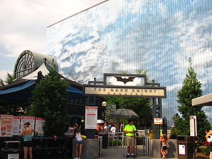
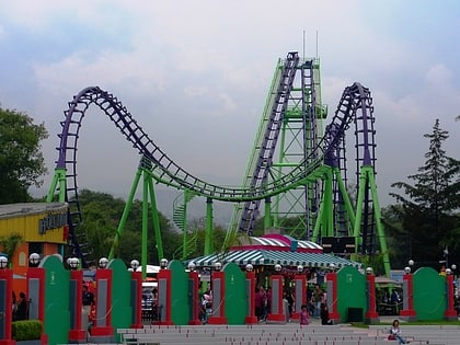
Nearby attractions include: The Dark Knight Coaster, Boomerang, Ajusco, Mexico City/Tlalpan.
Frequently Asked Questions (FAQ)
Which popular attractions are close to Pico del Águila?
Nearby attractions include Ajusco, Cumbres del Ajusco National Park (10 min walk), Cerro La Cruz del Marqués, Cumbres del Ajusco National Park (10 min walk).
