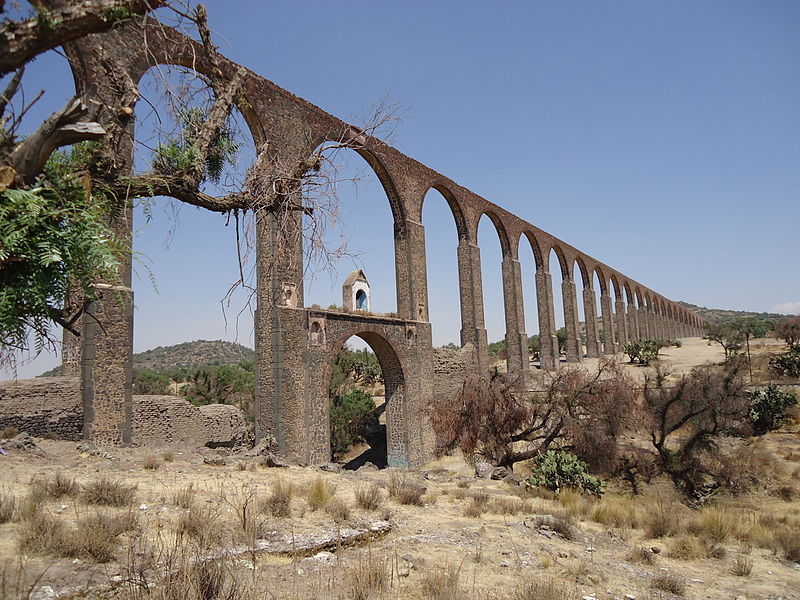
Aqueduct of Padre Tembleque

Gallery (2)
Map
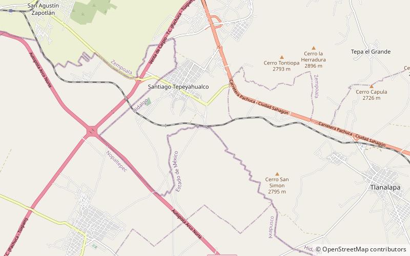
Map
Gallery
Facts and practical information
The Aqueduct of Padre Tembleque, or Tembleque Aqueduct, is a Mexican aqueduct located between the towns of Zempoala, Hidalgo, and Otumba in the State of Mexico. ()
Local name: Acueducto del Padre Tembleque Opened: 1570 (456 years ago)Unesco: from 2015Area: 134.44 mi²Length: 27.96 miHeight: 127 ftCoordinates: 19°50'5"N, 98°39'44"W
Location
Hidalgo
ContactAdd
Social media
Add