Revillagigedo Islands
Map

Map

Facts and practical information
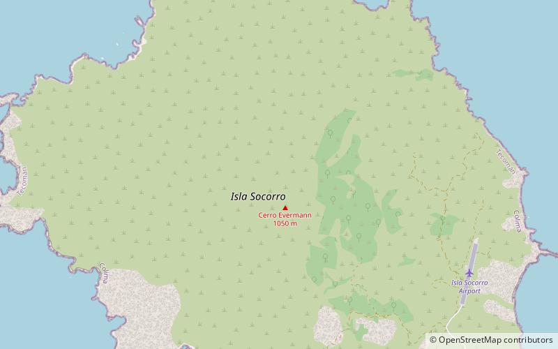
The Revillagigedo Islands or Revillagigedo Archipelago are a group of four volcanic islands in the Pacific Ocean, known for their unique ecosystem. They lie approximately 285 miles from Socorro Island south and southwest of Cabo San Lucas, the southern tip of the Baja California Peninsula, and 698 to 1,092 kilometres west of Manzanillo. Historically linked to the Mexican state of Colima, which was granted to the islands in 1861 to establish a penal colony. The islands are under Mexican federal property and jurisdiction. ()
Local name: Archipiélago de Revillagigedo Unesco: from 2016Area: 54773.98 mi²Maximum elevation: 3707 ftTotal islands: 4Coordinates: 18°47'52"N, 110°58'37"W
Location
Baja California Sur
ContactAdd
Social media
Add
Day trips
Revillagigedo Islands – popular in the area (distance from the attraction)
Nearby attractions include: Socorro Island.

