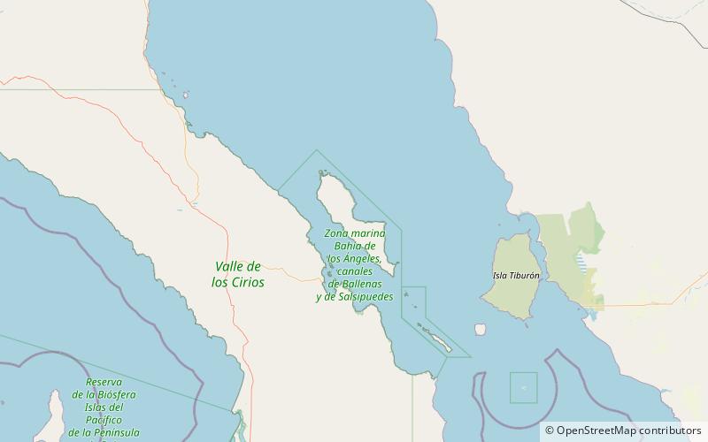
Isla Ángel de la Guarda, Gulf of California
Map

Map

Facts and practical information
Isla Ángel de la Guarda, also called Archangel Island, is a large island in the Gulf of California east of Bahía de los Ángeles in northwestern Mexico, separated from the Baja California Peninsula by the Canal de Ballenas. It is the second largest of the eleven Midriff Islands or Islas Grandes. It is part of the state of Baja California, located northwest of Tiburón Island. It is a biological reserve called Isla Angel de la Guarda National Park. The island is part of the Mexicali municipality. ()
Alternative names: Area: 364.87 mi²Maximum elevation: 4265 ftTotal islands: 5Coordinates: 29°17'24"N, 113°21'47"W
Address
Gulf of California
ContactAdd
Social media
Add
