
Pitiquito Travel Guide
Facts and practical information
Pitiquito, a charming town located in the Sonora region of Mexico, is a hidden gem waiting to be explored by travelers seeking an authentic Mexican experience. Nestled amidst the stunning desert landscape, Pitiquito offers a glimpse into the rich cultural heritage and traditions of the region.
One of the must-visit attractions in Pitiquito is the historic San Francisco de Borja Mission, which dates back to the 17th century. This beautifully preserved mission is a testament to the Spanish colonial influence in the region and provides a fascinating insight into the area's past. Visitors can explore the ornate architecture and learn about the mission's significance in the local community.
For nature enthusiasts, the surrounding desert landscape offers plenty of opportunities for outdoor adventures. The nearby desert trails provide a perfect setting for hiking and birdwatching, allowing visitors to immerse themselves in the breathtaking natural beauty of the region. The stunning sunsets over the desert horizon are not to be missed and provide a perfect backdrop for capturing memorable moments.
Pitiquito is also known for its vibrant local culture, and visitors can experience traditional Mexican fiestas and celebrations throughout the year. From lively street markets to colorful festivals, there is always something to experience in this dynamic town. The local cuisine is another highlight, with an array of authentic Mexican dishes to tantalize the taste buds.
Sonora
Pitiquito Attractions - What to See and Explore
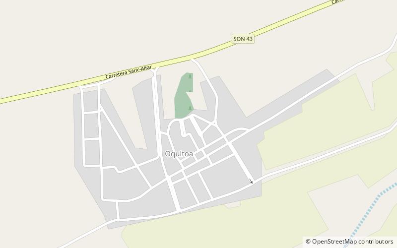
Pitiquito offers many attractions and places to visit. Here are the most important ones: Oquitoa. Below you will find a complete list of places worth visiting.
Best Time To Visit Pitiquito
Learn when is the best time to travel to Pitiquito weather-wise and what to expect in each season.