Puerto Salina
Map

Map

Facts and practical information
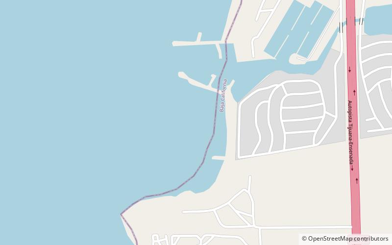
Marina Puerto Salina is in the Mexican state of Baja California. It is located at 73 km south of Tijuana at 32° 3.28´N 116° 53.20´W. Puerto Salina is the first marina in Mexico south of the United States border on the Pacific Ocean. Puerto Salina is located next to La Salina, Baja California, 62 km south of San Diego Bay. The marina has more than 250 slips and can accommodate yachts as large as 100 feet in length. ()
Coordinates: 32°3'9"N, 116°53'2"W
Location
Baja California
ContactAdd
Social media
Add
Day trips
Puerto Salina – popular in the area (distance from the attraction)
Nearby attractions include: Misión San Miguel Arcángel de la Frontera.

