Salvatierra
Map

Map

Facts and practical information
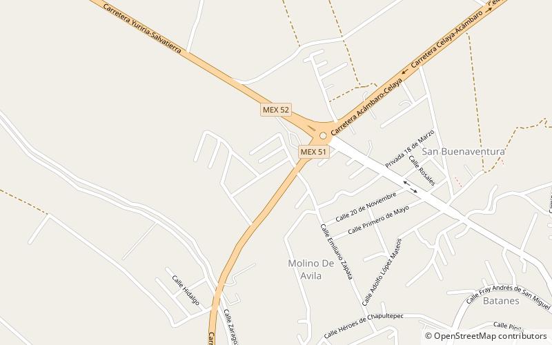
Salvatierra is a Mexican city located in the valley of Huatzindeo in the lowlands of the state of Guanajuato. With an area of 507.70 square kilometres, Salvatierra accounts for 1.66% the total area of the state. It is bordered to the north by Tarimoro and Cortazar, to the south by Acámbaro and the state of Michoacán, to the west by Yuriria and Santiago Maravatío, and to the northeast by Jaral del Progreso. The municipality had a total of 94,558 inhabitants of which 34,066 lived in the city of Salvatierra, according to the 2005 census. ()
