San Felipe Tejalapam

Map
Facts and practical information
San Felipe Tejalapam is a town and municipality in Oaxaca in south-western Mexico. The municipality covers an area of 76.55 km². It is part of the Etla District in the Valles Centrales region. ()
Local name: San Felipe Tejalápam Population: 7.9 thous.Area: 29.56 mi²Coordinates: 17°6'36"N, 96°50'60"W
Location
Oaxaca
ContactAdd
Social media
Add
Day trips
San Felipe Tejalapam – popular in the area (distance from the attraction)
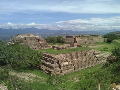
Nearby attractions include: San José Mogote, Santa María Atzompa, Monte Alban.


