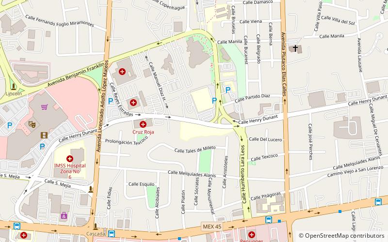
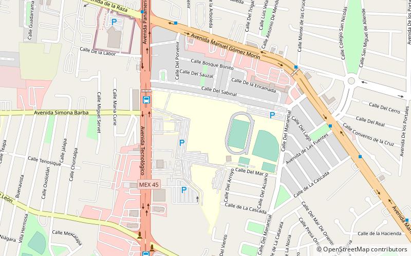
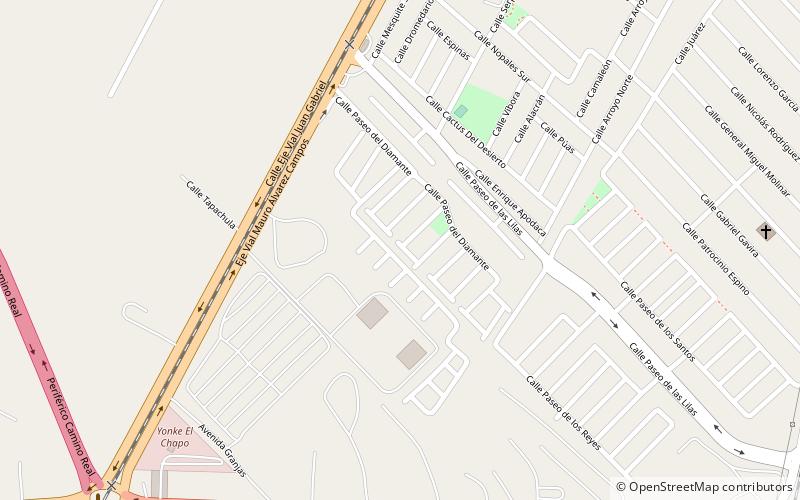
Franklin Canal, Juarez
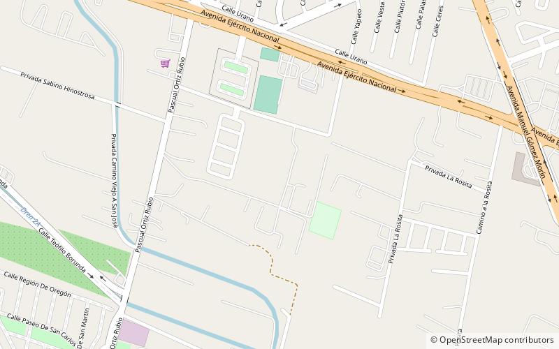
Map
Facts and practical information
The Franklin Canal is an irrigation canal in the Upper Rio Grande Valley near El Paso, Texas. The canal acquires water from the Rio Grande via the American Canal. The canal is 28.4 miles long with a capacity of 325 cubic feet per second. ()
Built: 1889 (137 years ago)Coordinates: 31°40'21"N, 106°22'34"W
Address
Juarez
ContactAdd
Social media
Add
Day trips
Franklin Canal – popular in the area (distance from the attraction)
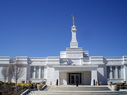
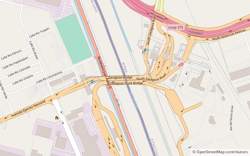
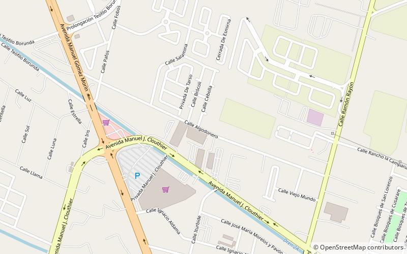
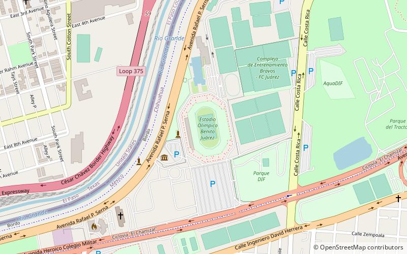
Nearby attractions include: Ciudad Juárez Mexico Temple, Ysleta–Zaragoza International Bridge, Campo Algodonero in Cd. Juarez, Museo de Arte de Ciudad Juárez.
