Trek Zone

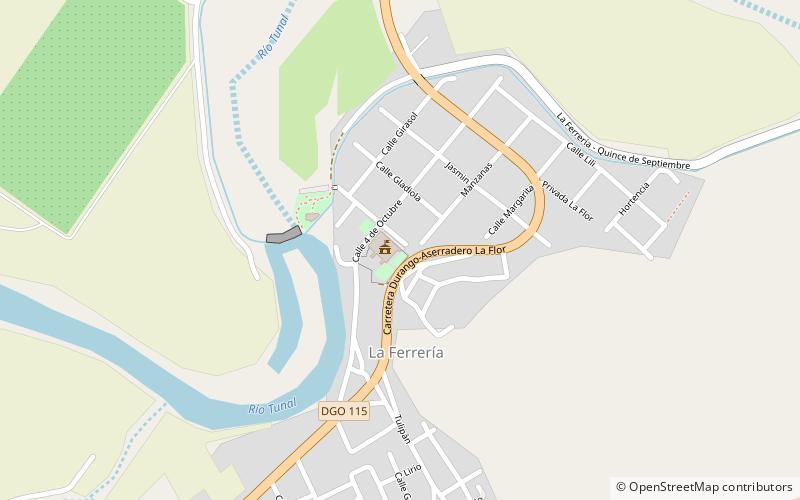
Hacienda Ferrería de las Flores, Durango

#4 among attractions in Durango

Event space, City hall
Hacienda Ferrería de las Flores

Facts and practical information

Hacienda Ferrería de las Flores (address: La ferreria) is a place located in Durango (Durango state) and belongs to the category of event space, city hall.

It is situated at an altitude of 6211 feet, and its geographical coordinates are 23°57'32"N latitude and 104°39'47"W longitude.

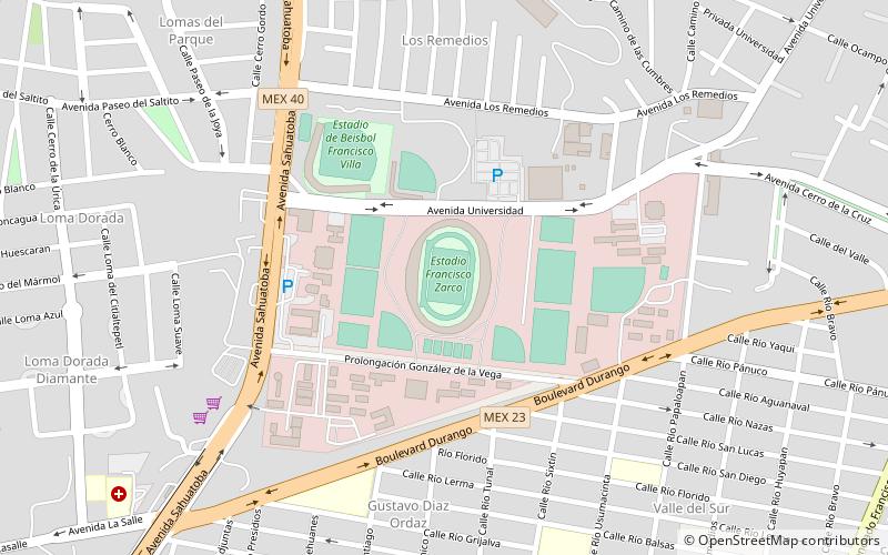
Among other places and attractions worth visiting in the area are: La Ferrería (archaeological site, 23 min walk), Avenida Sahuatoba (bridge, 102 min walk), Estadio Francisco Zarco (football, 105 min walk).

Coordinates: 23°57'32"N, 104°39'47"W
Address

La ferreriaDurango Mexico

ContactAdd
Social media
Add

Durango plan & book

Unleash the traveler in you — discover the cheapest flight deals, find the perfect hotel or hostel nearby, and search for the best car rental prices. Travel at your own pace to discover new places and enjoy your journey.

Day trips

Hacienda Ferrería de las Flores – popular in the area (distance from the attraction)

Nearby attractions include: Ganot-Peschard Museum of Archeology, La Ferrería, Cathedral Basilica of the Immaculate Conception, Avenida Sahuatoba.

  • ganot peschard museum of archeology durango location map
    4.5 miN
  • la ferreria durango0.9 miE
  • cathedral basilica of the immaculate conception durango4.6 miN
  • avenida sahuatoba durango4 miNW
  • estadio francisco zarco durango location map
    4.1 miN
  • durango institute of technology5.2 miN

Where to next? Visit durango Durango region page or discover the top tourist attractions in Mexico.