Tamasopo

Gallery (4)
Map

Map
Gallery
Facts and practical information
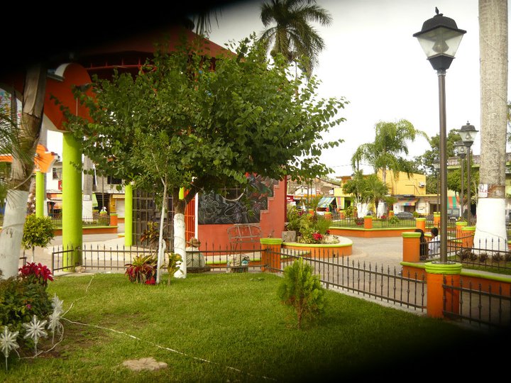
Tamasopo is a municipality and town in the Mexican state of San Luis Potosí. The town is located at 21°55′21″N 99°23′33″W. The municipality had an area of 1,329 square kilometres and a population of 28,848 in 2010, including the population of the town of Tamasopo with 4,326 people. ()