Tecolutla


Facts and practical information
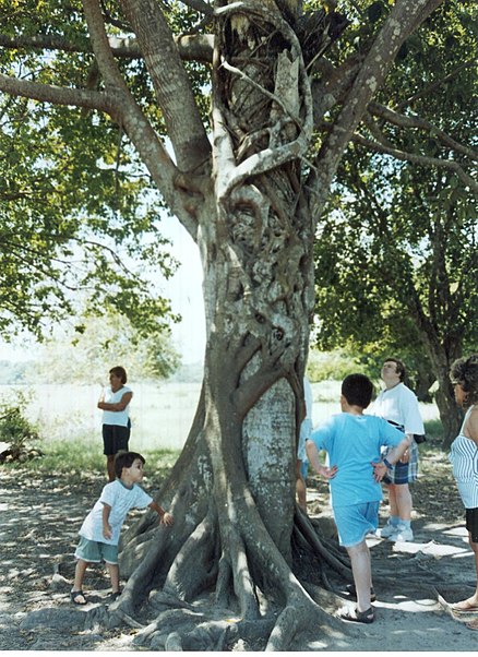
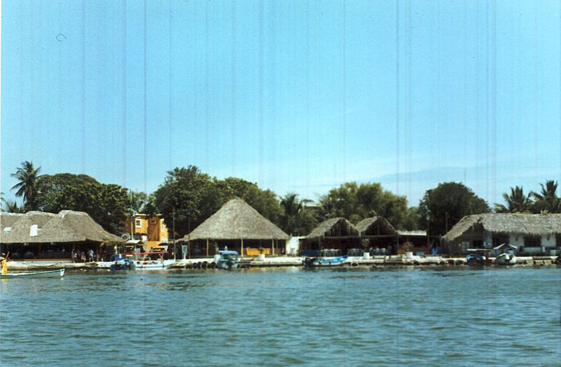
Tecolutla is a charming coastal town located in the Veracruz region of Mexico. Known for its pristine beaches and lush mangroves, this hidden gem offers a tranquil escape for travelers seeking relaxation and natural beauty. The town is situated along the Tecolutla River, where visitors can take boat tours to explore the surrounding mangrove forests and spot diverse wildlife, including birds, reptiles, and marine species.
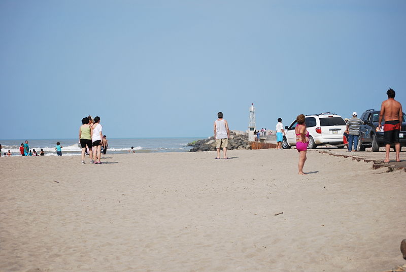
One of the main attractions in Tecolutla is its stunning beach, Playa Tecolutla. With its soft golden sand and calm waters, this beach is the perfect place to unwind and soak up the sun. Travelers can also enjoy a variety of water activities, such as swimming, kayaking, and jet skiing, or simply take a leisurely stroll along the shore. For those interested in ecotourism, the nearby El Tordo Mangrove Reserve offers guided tours that provide insight into the region's unique ecosystem and conservation efforts.
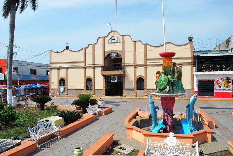
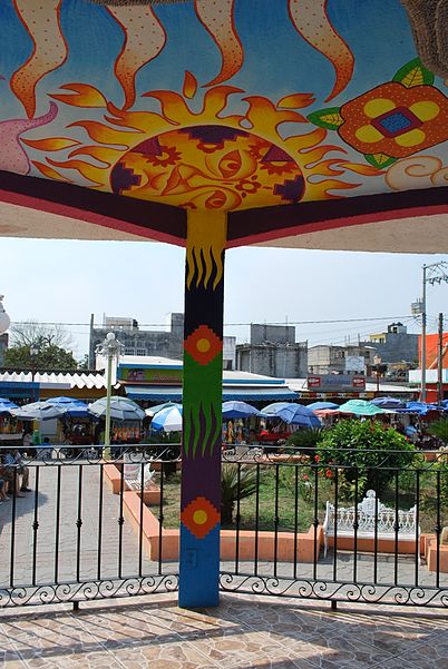
In addition to its natural beauty, Tecolutla is also home to a number of cultural and historical landmarks. The town's central plaza, Plaza Hidalgo, is a great place to experience the local culture and sample traditional cuisine at nearby restaurants and food stalls. Visitors can also visit the historic Iglesia de San Miguel Arcángel, a beautiful church that dates back to the 18th century and features stunning architecture and religious artifacts.
For those looking to immerse themselves in the local traditions, Tecolutla hosts several annual festivals and events, including the vibrant Carnival celebration and the Feast of the Virgin of Guadalupe. These festivities showcase the town's rich cultural heritage and offer a unique opportunity to experience traditional music, dance, and cuisine.
Veracruz
Best Time To Visit Tecolutla
Learn when is the best time to travel to Tecolutla weather-wise and what to expect in each season.