Estadio Plan de San Luis Potosí, San Luis Potosi
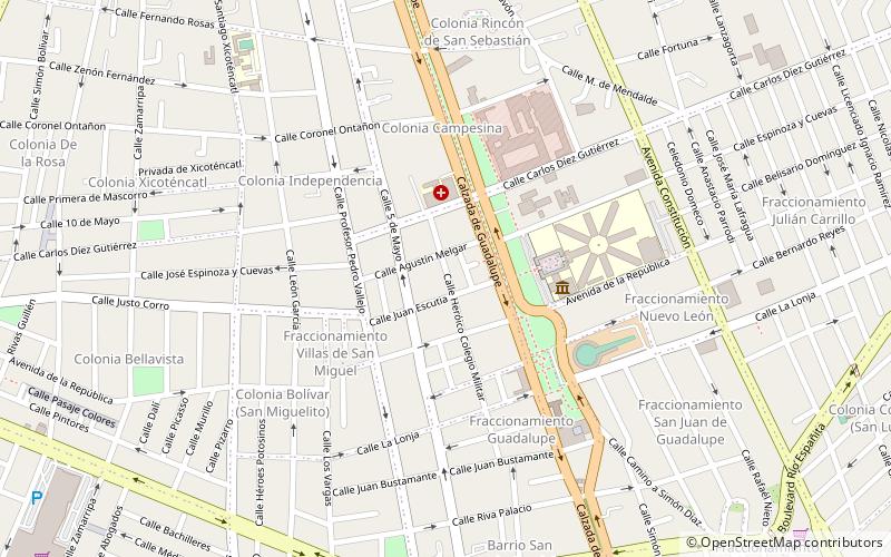
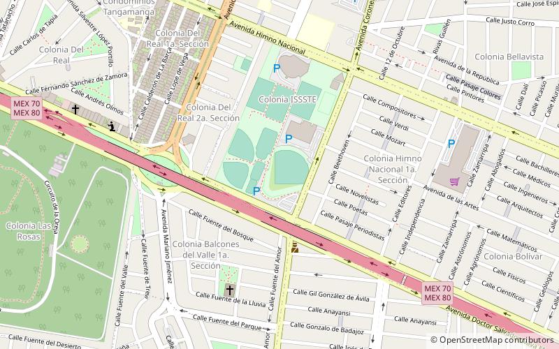
Map
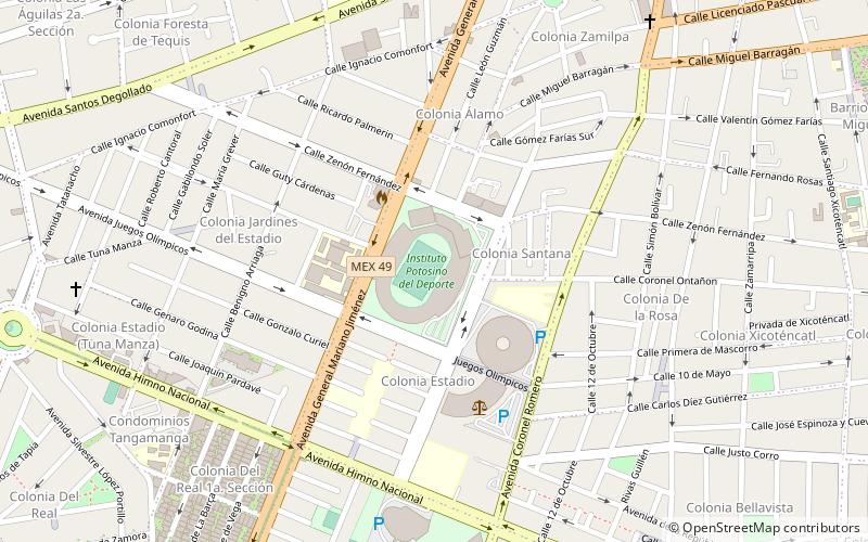
Map

Facts and practical information
Estadio Plan de San Luis Potosí was a multi-use stadium in San Luis Potosí, Mexico. It was initially used as the stadium of San Luis F.C. matches. It was replaced by the current Estadio Alfonso Lastras in 2002. The capacity of the stadium was 18,000 spectators. In 2006, the government carried out remodeling work on the stadium, the north stand was demolished and a high performance sports center was built. ()
Local name: Estadio Plan de San Luis Opened: 1957 (69 years ago)Capacity: 18 thous.Coordinates: 22°8'29"N, 100°59'6"W
Address
San Luis Potosi
ContactAdd
Social media
Add
Day trips
Estadio Plan de San Luis Potosí – popular in the area (distance from the attraction)
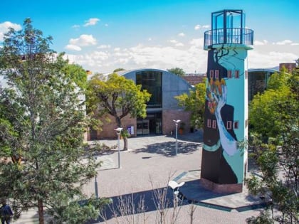
Nearby attractions include: Museo Nacional de la Máscara, Museo Leonora Carrington, Art Center, Tranvia Turistico San Luis Rey.
Frequently Asked Questions (FAQ)
Which popular attractions are close to Estadio Plan de San Luis Potosí?
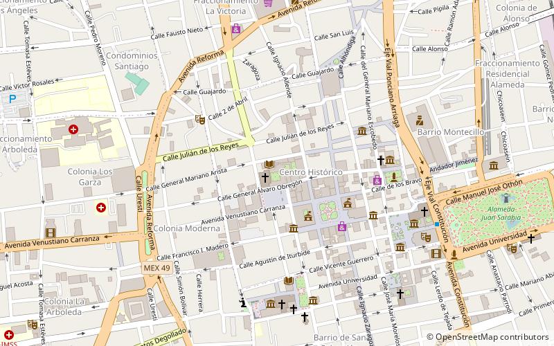
Nearby attractions include Museo Leonora Carrington, San Luis Potosi (21 min walk), Secretaria de Turismo, San Luis Potosi (23 min walk), Tranvia Turistico San Luis Rey, San Luis Potosi (24 min walk), Universidad Autónoma de San Luis Potosí, San Luis Potosi (24 min walk).

