Sierra de San Francisco
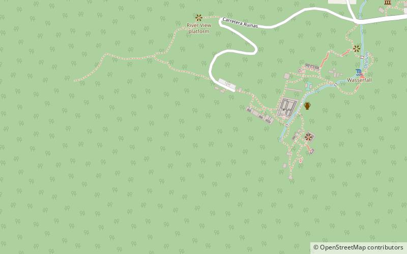
Map
Facts and practical information
The Sierra de San Francisco is a mountain range in Mulegé Municipality of the northern region of Baja California Sur state, in northwestern Mexico. ()
Coordinates: 17°28'60"N, 92°2'59"W
Location
Chiapas
ContactAdd
Social media
Add
Day trips
Sierra de San Francisco – popular in the area (distance from the attraction)
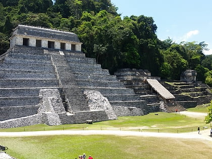
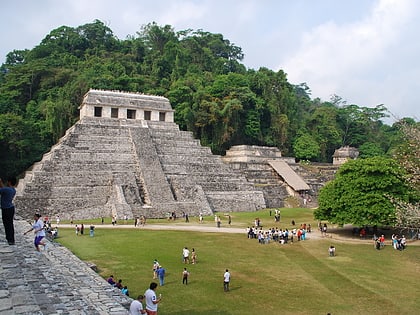
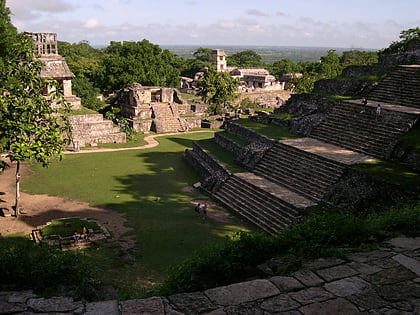
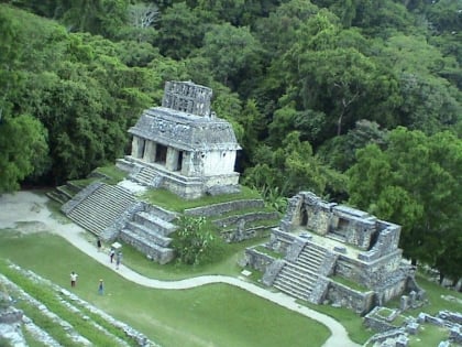
Nearby attractions include: Temple of the Inscriptions, Tomb of the Red Queen, Zona Arqueologica Palenque, Palenque Ruins.
