Camino Real International Bridge, Piedras Negras

Gallery (1)
Map
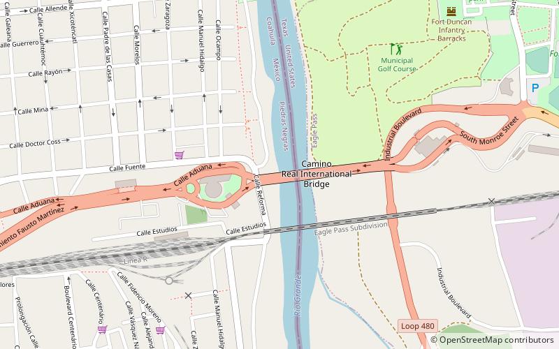
Map
Facts and practical information
The Camino Real International Bridge is an international bridge which crosses the Rio Grande connecting the United States-Mexico border cities of Eagle Pass, Texas and Piedras Negras, Coahuila. The bridge is also known as "Eagle Pass-Piedras Negras International Bridge II", "Puente Dos", "Puente Camino Real" and "Puente Internacional Coahuila 2000". ()
Coordinates: 28°41'52"N, 100°30'40"W
Address
Piedras Negras
ContactAdd
Social media
Add
Day trips
Camino Real International Bridge – popular in the area (distance from the attraction)
Nearby attractions include: Eagle Pass–Piedras Negras International Bridge.
