Instituto Tecnológico de Puebla, Puebla
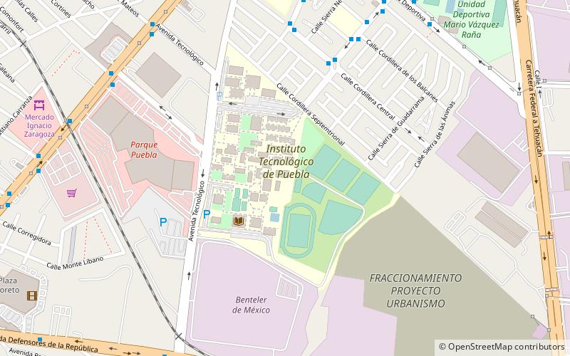
Map
Facts and practical information
The Puebla Institute of Technology is an institution of higher education in Puebla, México. The institute was founded in 1972. It is a public school, dependant of the Secretariat of Public Education. It offers 9 undergraduate and 3 graduate programs in engineering, technology and management areas. It is part of the National Technological Institute of Mexico and the National Association of Universities and Higher Education Institutions. ()
Getting there by public transportation
Public transportation stops near this location
- Bus
 Bus
Bus
- Calculate routeLa Ciénega 11 min walk
- Calculate routeTecnológico 11 min walk
- Calculate routeLa Rosa 14 min walk
- Calculate routeLos Fuertes 15 min walk
Day trips


Frequently Asked Questions (FAQ)
How to get to Instituto Tecnológico de Puebla by public transport?
The nearest stations to Instituto Tecnológico de Puebla:
Bus
Bus
- La Ciénega • Lines: L1 (11 min walk)
- Tecnológico • Lines: L1 (11 min walk)