Trek Zone

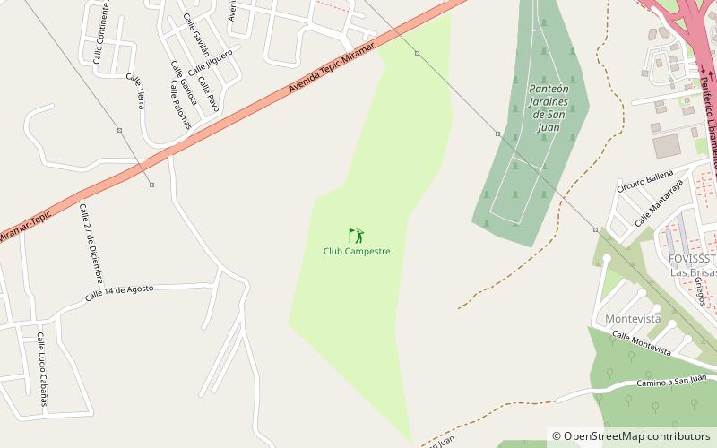
Club Campestre, Tepic

#2 among attractions in Tepic

Golf
Club Campestre

Facts and practical information

Club Campestre is a place located in Tepic (Nayarit state) and belongs to the category of golf.

It is situated at an altitude of 3307 feet, and its geographical coordinates are 21°31'0"N latitude and 104°56'2"W longitude.

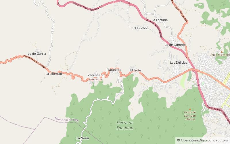
Among other places and attractions worth visiting in the area are: Parque La Loma (garden, 61 min walk), Platanitos (area, 67 min walk), Palacio de Gobierno (palace, 68 min walk).

Coordinates: 21°31'0"N, 104°56'2"W
Address

Tepic Mexico

ContactAdd
Social media
Add

Tepic plan & book

Unleash the traveler in you — discover the cheapest flight deals, find the perfect hotel or hostel nearby, and search for the best car rental prices. Travel at your own pace to discover new places and enjoy your journey.

Day trips

Club Campestre – popular in the area (distance from the attraction)

Nearby attractions include: Immaculate Conception Cathedral, Parque La Loma, Platanitos, Universidad Autónoma de Nayarit.

  • immaculate conception cathedral tepic2.8 miE
  • parque la loma tepic2.4 miE
  • platanitos tepic location map
    2.6 miW
  • universidad autonoma de nayarit tepic location map
    3.2 miSE
  • palacio de gobierno tepic2.7 miE
  • museo regional de nayarit tepic2.7 miE

Where to next? Visit nayarit Nayarit region page or discover the top tourist attractions in Mexico.