Xlapak

Gallery (2)
Map
Map
Gallery
Facts and practical information
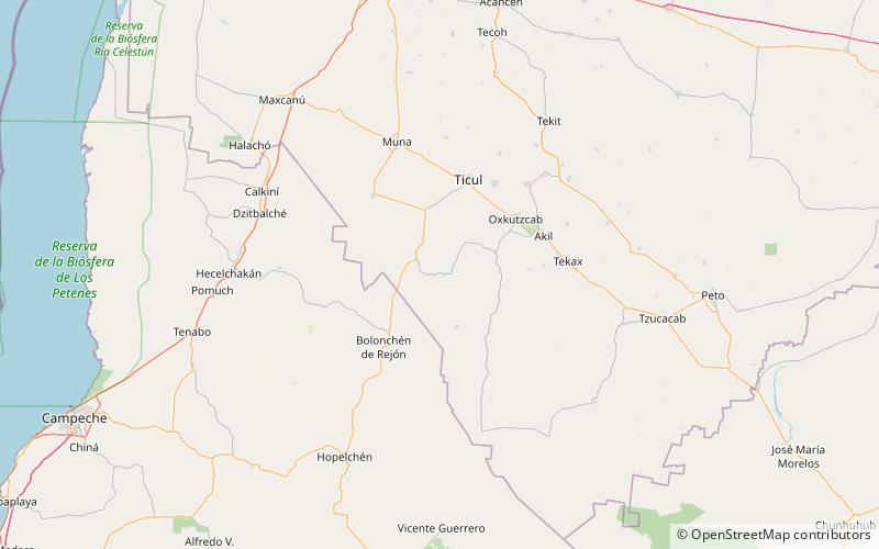
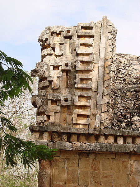
Xlapak is a small Maya archaeological site in the Yucatan Peninsula of southeastern Mexico. It is located in the heart of the Puuc region, about 4 kilometres from the archaeological site of Labná and a similar distance from Sayil, lying directly between the two sites. It consists of three main groups in a valley of the Puuc Hills in Yucatán State, a region of karst limestone forming the only major topographical feature of the peninsula. The closest town is Oxkutzcab, about 30 kilometres to the northeast. ()
Day trips
Xlapak – popular in the area (distance from the attraction)
Nearby attractions include: Labna.
