Mezcala Bridge
Map
Gallery

Facts and practical information
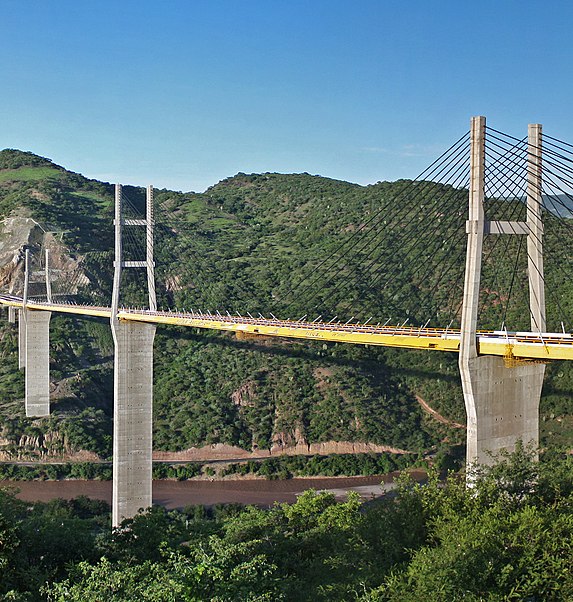
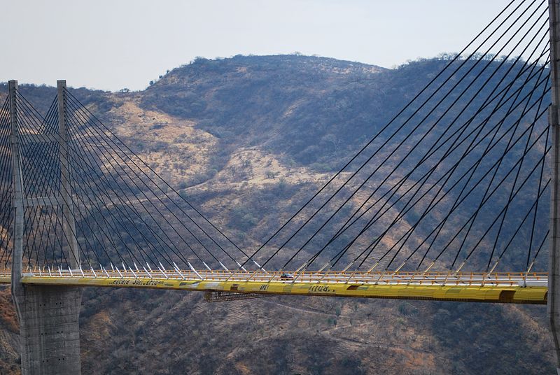
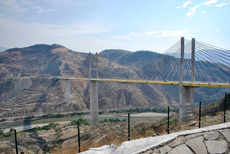
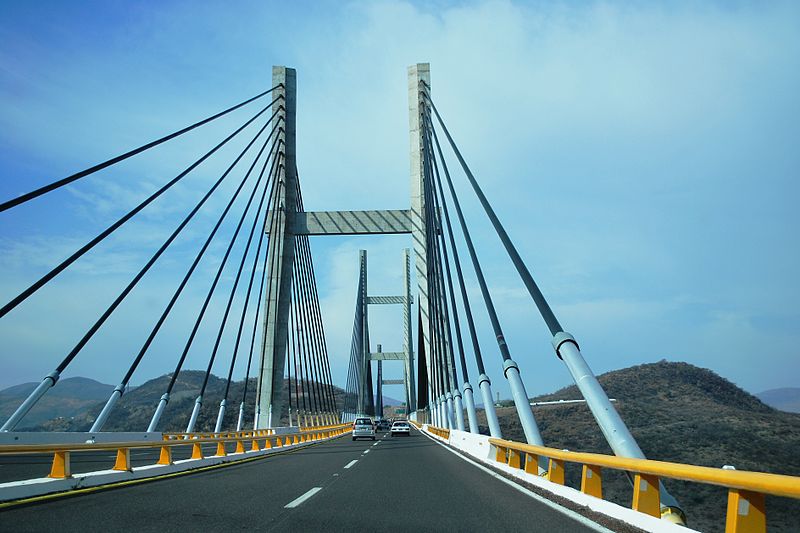
The Mezcala Bridge, is a cable-stayed bridge located in the state of Guerrero on Highway 95D in Mexico. It spans the Balsas River close to the western Pacific coast of the country. This bridge, with a total length of 891 m and six uneven spans completed in 1993, has been in service since 1994 as a toll bridge. ()
Local name: Puente Mezcala Solidaridad Opened: 1993 (33 years ago)Length: 2923 ftCoordinates: 17°56'12"N, 99°22'9"W
Location
Guerrero
ContactAdd
Social media
Add


